
Topo map USGS Mount Marcy Mountain range Adirondack Mountains Listing Adirondack High Peaks | Prominence 170 m Parent range Colvin Range | |
 | ||
Elevation 3970+ ft (1210+ m) NGVD 29 Similar Mount Colvin, Nippletop, Dial Mountain, Macomb Mountain, Couchsachraga Peak | ||
Adirondack mountains hiking mt colvin blake peak
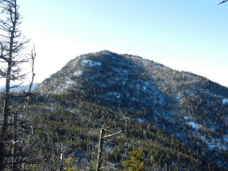
Blake Peak (or Blake Mountain) is a mountain located in Essex County, New York. The mountain is named after Mills Blake (died 1930), Verplanck Colvin’s chief assistant during the Adirondack Survey. It is part of the Colvin Range. Blake Peak is flanked to the northeast by Mount Colvin, and to the southwest by Pinnacle.
Contents
- Adirondack mountains hiking mt colvin blake peak
- Map of Blake Peak Keene NY 12943 USA
- Mt colvin blake peak indian head
- References
Map of Blake Peak, Keene, NY 12943, USA
The northwest side of Blake Peak drains into the East Branch of the Ausable River, between Upper and Lower Ausable Lakes. The Ausable River drains into Lake Champlain, which in turn drains into Canada's Richelieu River, the Saint Lawrence River, and into the Gulf of Saint Lawrence. The southeast side of Blake Peak drains into the West Inlet of Elk Lake, thence into The Branch of the Schroon River, the Hudson River, and into New York Bay.
Blake Peak was formerly thought to have an elevation of at least 4,000 ft (1,219 m), so it was included on the list of 46 Adirondack High Peaks. More recent surveys show Blake and three other peaks fell slightly short, but they remain on the list.