
Population 2,161 (2011) Postal code 3942 | Postcode(s) 3942 Area 6.3 km² Local time Sunday 6:22 AM | |
 | ||
Weather 19°C, Wind SE at 18 km/h, 89% Humidity Points of interest Koonya Beach, Bridgewater Bay, Blairgowrie Caravan Park | ||
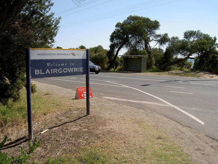
Blairgowrie is a seaside village approximately 87 km from Melbourne, Victoria, Australia. Its local government area is the Shire of Mornington Peninsula.
Contents
Map of Blairgowrie VIC 3942, Australia
History
Blairgowrie was named after the Burgh of Blairgowrie, the largest town in Perth and Kinross, Scotland. A post office was not opened until 1 November 1947.
Rhys Isaac, Pulitzer-prize-winning author, died in Blairgowrie on 6 October 2010.
Today
Blairgowrie is located near the western tip of the Mornington Peninsula, between Sorrento and Rye, and is one of many popular holiday destinations for Melburnians along this narrow peninsula strip. It is bordered on the north by Port Phillip, and on the south by Bass Strait and a series of surf beaches interspersed with spectacular cliffs and rocky ledges. It is frequented by tourists in the summer months, and has been featured on numerous travel programs.