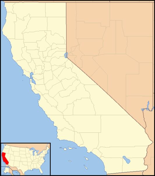
County Kern County Local time Saturday 10:16 AM | Elevation 198 m | |
 | ||
Weather 18°C, Wind W at 5 km/h, 40% Humidity | ||
Blackwells Corner is an unincorporated community in the Antelope Valley of Kern County, California. It is located 50 miles (80 km) west-northwest of Bakersfield, at an elevation of 650 feet (198 m). Blackwells Corner is at the intersection of California State Route 46 and California State Route 33, and was the last place James Dean was seen alive prior to his death in a car wreck.
Contents
Map of Blackwells Corner, CA 93249, USA
The name honors George Blackwell, who started a rest stop there in 1921.
Climate
According to the Köppen Climate Classification system, Blackwells Corner has a semi-arid climate, abbreviated "BSk" on climate maps.
References
Blackwells Corner, California Wikipedia(Text) CC BY-SA
