
Established 1850 LGA(s) City of Unley Area 163 ha Postal code 5035 | Postcode(s) 5035 State electorate(s) Ashford (2011) Founded 1850 Local time Friday 7:29 PM | |
 | ||
Population 1,998 (2011 census)
1,846 (2006 census) Location 4.7 km (3 mi) SW of Adelaide city centre Weather 28°C, Wind SE at 23 km/h, 31% Humidity Federal division Division of Adelaide (2011) | ||
Black Forest is an inner southern suburb of Adelaide, South Australia. It is located in the City of Unley.
Contents
- Map of Black Forest SA 5035 Australia
- History
- Geography
- Demographics
- Schools
- Parks
- Roads
- Public transport
- References
Map of Black Forest SA 5035, Australia
History
There have been three Post Offices named Black Forest; the first opened on 1 September 1899 and was renamed Glandore in 1915, the second opened on 10 November 1947 and was renamed Clarence Park West in 1966 and the third opened on 8 January 1996.
Geography
Black Forest is bounded by the Glenelg Tramline (north), the Seaford railway line (south), South Road (west) and East Avenue (east).
Demographics
The 2006 Census by the Australian Bureau of Statistics counted 1,846 persons in Black Forest on census night. Of these, 47.2% were male and 52.8% were female.
The majority of residents (79.0%) are of Australian birth, with other common census responses being England (3.1%) and Greece (2.3%).
The age distribution of Parkside residents is comparable to that of the greater Australian population. 67.7% of residents were over 25 years in 2006, compared to the Australian average of 66.5%; and 32.3% were younger than 25 years, compared to the Australian average of 33.5%.
Schools
Black Forest Primary School opened in 1919 and is located on South Road.
Parks
Forest Reserve is located near the centre of Black Forest. There is another small park on Byron Road, the Princess Margaret Playground.
Roads
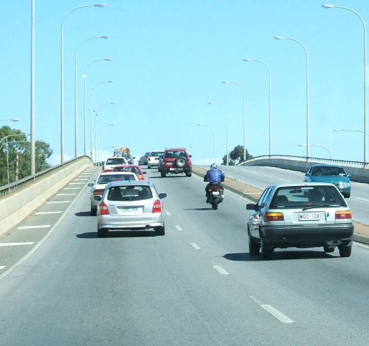
Black Forest is serviced by South Road.
Public transport
Black Forest is serviced by tram, train and buses run by the Adelaide Metro.