
Topo map USGS Black Crater Mountain type Shield volcano Elevation 2,212 m | Easiest route Trail Prominence 430 m | |
 | ||
Similar | ||
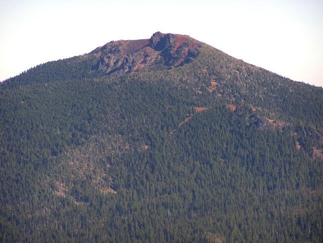
Black Crater is a steep-sided shield volcano in the Cascade Range of central Oregon, located north of the Three Sisters and east of McKenzie Pass. Ice Age glaciers carved a large cirque into the northern flank of the mountain, and snow often lingers in its shady depths until late summer. A United States Forest Service fire lookout tower was built on the summit in 1925, but was eventually destroyed and only remnants of the foundation remain today. A 3.7-mile (6.0 km) trail heads for the summit from the northwest on Oregon Route 242, eventually wrapping onto the northeast side for the upper part of the ascent.
Map of Black Crater, Oregon 97413, USA
References
Black Crater Wikipedia(Text) CC BY-SA