
Topo map USGS Plaskett Meadows Prominence 742 m | Elevation 2,272 m | |
 | ||
Parent range Central Northern California Coast Range Similar Anthony Peak, Mount Ingalls, Hat Mountain, Salmon Mountain, Mount Linn | ||
Black Butte is a mountain butte located in the Northern Coast Ranges of California south of Mendocino Pass. It rises to an elevation of 7,455 feet (2,272 m) north of the Black Butte River.
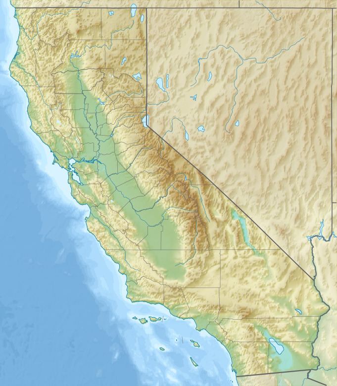
Map of Black Butte, California, USA
The mountain on the Mendocino National Forest is the highest point in county of Glenn County. In spite of the difference in elevation between the river valley at 2,800 feet (850 m) and Black Butte, the summit's prominence is moderate due the neighboring 6,500-foot (1,980 m) Plaskett Meadows. The high elevation of the mountain and plateau bring heavy winter snowfall and a low average annual temperature. US Forest Highway 7, a dirt road connection between the eastern and western segments of State Route 162 passes to the north of Black Butte. However, this route is closed in winter due to heavy snowfall.