 | ||
Weather 4°C, Wind S at 13 km/h, 99% Humidity | ||
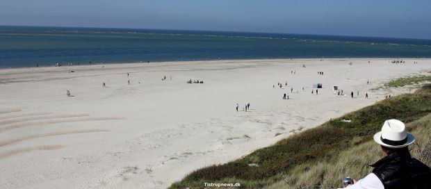
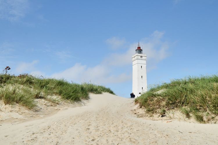
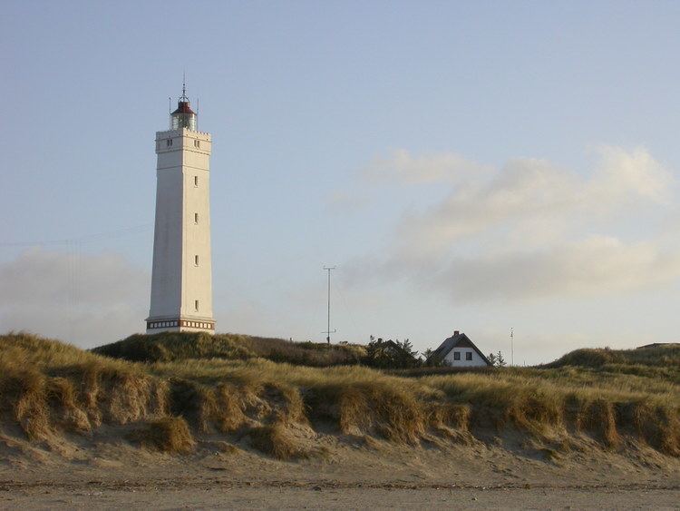
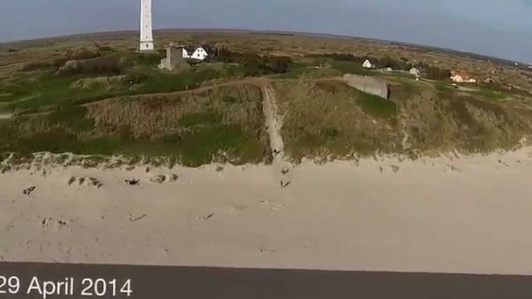
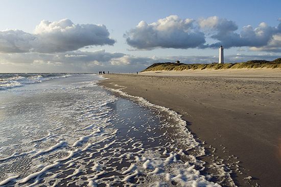
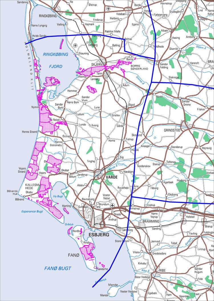
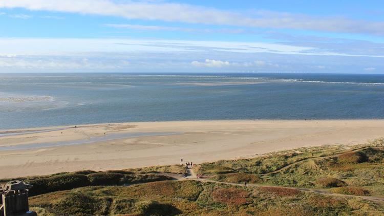
Blåvandshuk is a headland on the North Sea coast of Jutland northwest of Esbjerg, and is the westernmost point of metropolitan Denmark. The Blåvand Lighthouse is the westernmost located building in Denmark.
Before January 1, 2007, Blåvandshuk was also the name of a municipality (Danish, kommune) that contained the headland. The municipality covered an area of 223 km², and had a total population of 4,378 (2005). Its latest mayor was Hans Chr. Thoning, a member of the Venstre (Liberal Party) political party. The main town and site of its municipal council was the town of Oksbøl.
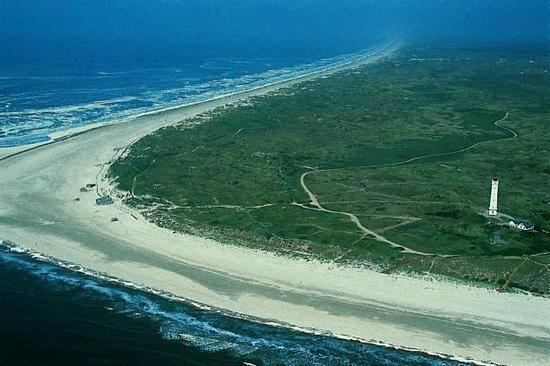
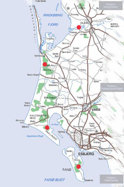
Because Blåvandshuk is on the coast and has a peninsula (Skallingen) which stretches to the southeast, it is surrounded by much water. To the northwest is the North Sea. To the southeast of Skallingen is Fanø Bay (Fanø Bugt) and the island Fanø. Beyond Fanø Bay is the Wadden Sea. To the northeast of Skallingen lies Ho Bay (Ho Bugt) and the small island of Langli.
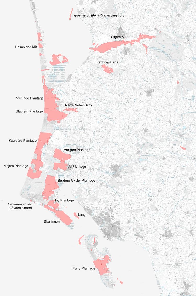
Skallingen and the waters off its coast are protected, a part of the Wadden Sea wildlife reserve and protection area being discussed as a potential national park. Located on Skallingen's southwestern coast is Denmark's last minefield, left over from Second World War, when 1,389,289 landmines were placed in Denmark by the German occupation forces as part of their defence line. Approximately 10,000 of these mines, two-thirds of which are anti-personnel mines, remain in a closed-off area on the peninsula. Demining efforts are hampered by the shifting sands that can bury mines several meters underground, and the drift of the sea which has moved the beach some 200 meters to the east since the end of the war. The field will be cleared out at the latest according to the Ottawa Convention in 2009.
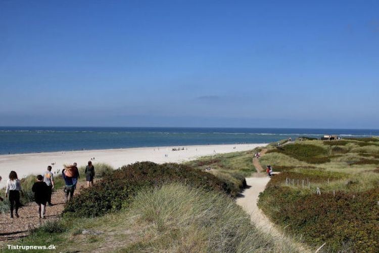
A significant portion of Blåvandshuk is marsh land, moor, dunes, and beaches.
Blåvandshuk municipality ceased to exist due to Kommunalreformen ("The Municipal Reform" of 2007). It was merged with former Blaabjerg, Helle, Varde, and Ølgod municipalities to form a new Varde municipality.