
Country Norway County Troms Municipality ID NO-1915 Area 73.61 km² Local time Friday 12:49 AM | Region Northern Norway District Central Hålogaland Adm. Center Nergården Population 455 (2012) | |
 | ||
Weather -1°C, Wind E at 6 km/h, 81% Humidity | ||
Bjarkøy is a former municipality in Troms county, Norway. The municipality was merged with the municipality of Harstad on 1 January 2013. The administrative centre of the municipality was the village of Nergården. The municipality was spread across several smaller islands, the biggest being the northern side of Grytøya. The island of Bjarkøya was home to the municipality's biggest village, Nergården.
Contents
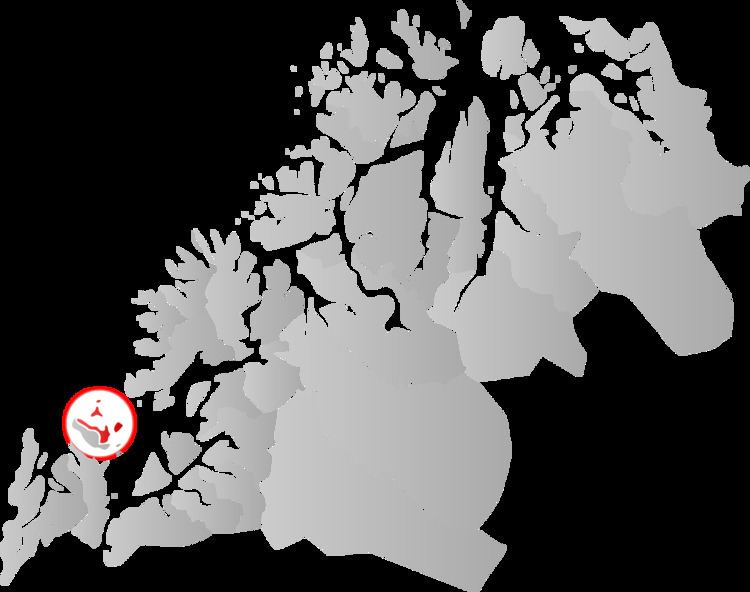
Map of 9426 Bjark%C3%B8y, Norway
The Bjarkøy Fixed Link project is a proposed bridge and undersea road tunnel that will connect the three main islands of the former municipality of Bjarkøy. This project was one of the factors in the municipality merging with Harstad.
General information
The church parish of Sand was established as a municipality on 1 January 1838 (see formannskapsdistrikt). The name was later changed to Bjarkøy. The southernmost part of the island of Senja (the Senjehesten peninsula) and the Lemmingsvær island (total population of the two locations: 480) was transferred from Bjarkøy to the municipality of Tranøy on 1 January 1964. On 1 January 2013, the municipality was merged with the municipality of Harstad to the south, forming a new, larger municipality of Harstad.
Name
The municipality was named after the island of Bjarkøya (Old Norse: Bjarkarey). The first element is the genitive case of bjørk which means "birch" and the last element is øy which means "island". (The name of the island, since it is an old trading place, is perhaps inspired by the name of the old and well-known town of Birka in Sweden, which has the same meaning).
Prior to 1887, the municipality was called Sand after the name of the church site. It was called Bjarkø (later Bjarkøy) since then.
Coat-of-arms
The coat-of-arms is from modern times. They were granted on 11 April 1986. The arms show a golden griffin on a blue background. They are derived from the arms of the Bjarkøy dynasty, one of the most influential families in the Northern part of Norway. The griffin was already used in the seal and arms of the family in the late 13th century. The arms of Bjarkøy were retained by the new municipality of Harstad after the merger in 2013.
Churches
The Church of Norway had one parish (sokn) within the municipality of Bjarkøy. It was part of the Trondenes deanery in the Diocese of Nord-Hålogaland.
History
This is old Viking territory, and was a chieftain seat during the Viking Age and the Middle Ages. Among the more famous chieftains you find Thorir Hund, who killed Norway's Patron Saint, Saint Olav in the Battle of Stiklestad in 1030. In 1323, the chieftain seat was raided and burned by Karelian warriors.
Geography
The municipality of Bjarkøy was located entirely on islands. The largest island, Grytøya, was shared with the municipality of Harstad. Other islands included Bjarkøya, Sandsøya, Helløya, Flatøya, and Meløyvær. The Andfjorden flowed along the northern and western side of the municipality and the Vågsfjorden flowed on the eastern and southern sides of the municipality.