District Heidekreis Postal codes 29646 Population 6,256 (31 Dec 2008) | Time zone CET/CEST (UTC+1/+2) Dialling codes 05194 Local time Thursday 9:56 PM | |
 | ||
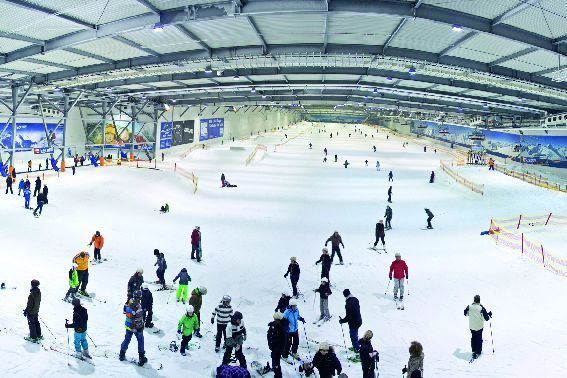
Weather 4°C, Wind W at 21 km/h, 91% Humidity Points of interest Snow Dome - Bispingen, DAS VERRÜCKTE HAUS, Wilseder Berg, Totengrund, Erlebnisbad Aqua Mundo Bi | ||
Bispingen is a municipality in the Heidekreis district of Lower Saxony, Germany. It is a popular tourist destination with several holiday/theme parks. Its territory also includes the nature preserve of the Lüneburg Heath around the Wilseder Berg.
Contents
- Map of 29646 Bispingen Germany
- Location
- Subdivisions
- Neighbouring villages and towns
- Economy
- Places of interest
- Notable people
- References
Map of 29646 Bispingen, Germany
Location
Bispingen is located on the River Luhe and is approximately 15 km (9.3 mi) northeast of Soltau, or 50 km (31 mi) south of Hamburg. Bispingen lies near interchange 43 of the A 7 motorway.
Subdivisions
Neighbouring villages and towns
Economy
Bispingen is popular with tourists as a local recreation area and nature reserve.
Places of interest
Notable people
References
Bispingen Wikipedia(Text) CC BY-SA
