
Time zone BST (UTC+6) Area 127.8 km² | Postal code 3010 Local time Friday 2:18 AM | |
 | ||
Weather 21°C, Wind NE at 5 km/h, 72% Humidity | ||
Bishwamvarpur (Bengali: বিশ্বম্ভরপুর) or Bishwambarpur, is an Upazila of Sunamganj District in the Division of Sylhet, Bangladesh.
Contents
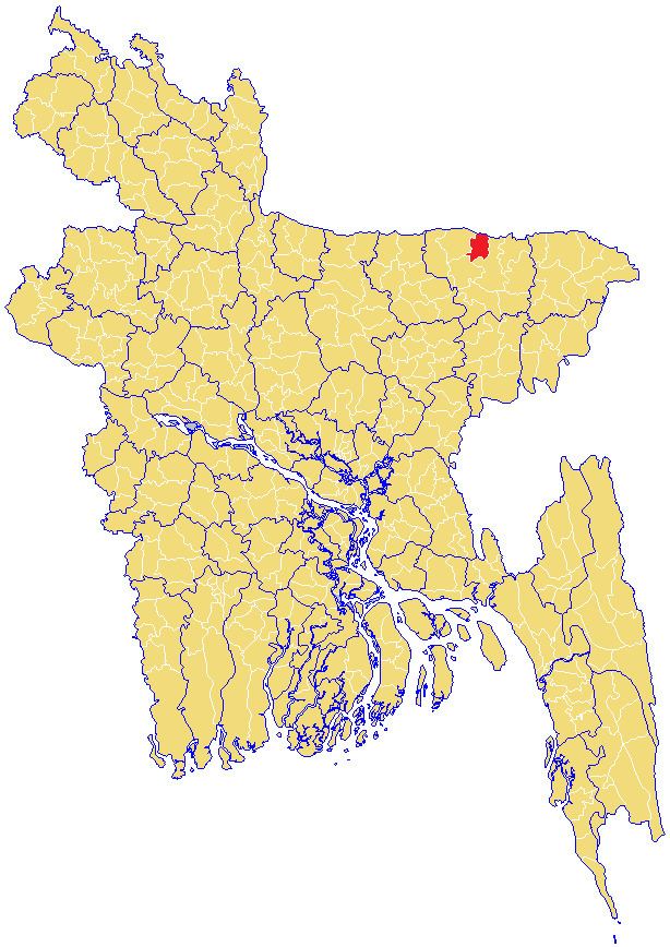
Map of Bishwamvarpur, Bangladesh
Geography
Bishwamvarpur is located at 25.1000°N 91.3000°E / 25.1000; 91.3000 . It has 19705 households and total area 127.76 km².
Demographics
As of the 1991 Bangladesh census, Bishwamvarpur has a population of 106182. Males constitute 50.96% of the population, and females 49.04%. This Upazila's eighteen up population is 52628. Bishwamvarpur has an average literacy rate of 17.2% (7+ years), and the national average of 32.4% literate. Religions: Muslim 80.3%, Hindu 19.5%, and others 0.2%.
Administration
Bishwamvarpur has 5 Unions, 45 Wards, 59 Mauzas/Mahallas, and 175 villages.
References
Bishwamvarpur Upazila Wikipedia(Text) CC BY-SA