
Postal codes 16547 Area 18.1 km² Local time Thursday 10:53 AM Dialling code 03303 | Time zone CET/CEST (UTC+1/+2) Dialling codes 03303 Population 7,650 (31 Dec 2008) Postal code 16547 | |
 | ||
Weather 5°C, Wind W at 27 km/h, 90% Humidity | ||
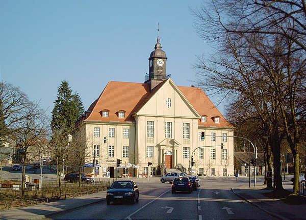
Birkenwerder is a municipality in the Oberhavel district, in Brandenburg, Germany.
Contents
Map of Birkenwerder, Germany
Geography
Birkenwerder is situated in the south of Oberhavel. The northern border of Berlin is 3 kilometres away. Birkenwerder shares his border with Oranienburg in the north, Mühlenbecker Land in the east and Hohen Neuendorf in the south and in the north. In the centre of Birkenwerder is the river Briese. In the west of Birkenwerder it empties in the River Havel. Briese and Lindenhof are districts (Wohnplätze) of Birkenwerder. More than 50% of the area consists of forest. There are many forest roads, also along the river Briese. Birkenwerder is connected to the motorway A 10 (Bundesautobahn 10), the B 96 (Bundesstraße 96) and the B 96a which ends in the centre of Birkenwerder.
Detailed data sources are to be found in the Wikimedia Commons.