
Time zone IST (UTC+5:30) Local time Thursday 3:04 PM | PIN 767040 Area code 06652 | |
 | ||
Weather 37°C, Wind SE at 5 km/h, 16% Humidity | ||
Biripali (ବିରିପାଲି) is a village located in Bangomunda of Balangir district, Orissa. Biripali Panchayat combined with Biripali, Bedapara, Kuturabeda, Tetelpara with total population of 4,099. Bhubaneswar is the state capital for Biripali village. The local language is Kosli, but the official language is Oriya.
Contents
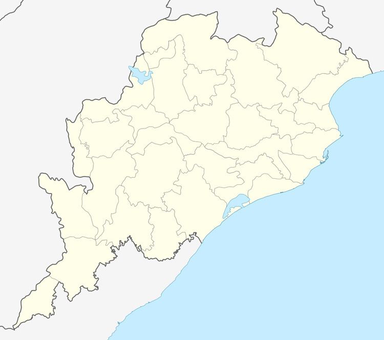
Map of Biripali, Odisha
Education
Sex Ratio
Total population is 1,811. Sex Ratio is 919 males to 892 females, as per population Census 2011.
Literacy Rate
Village Literacy rate is 62.57% , of which Male literacy 74.12% and female literacy rate 51.18%.
References
Biripali Wikipedia(Text) CC BY-SA