
Area 413 km² | Time zone BST (UTC+6) | |
 | ||
Birganj (Bengali: বীরগঞ্জ) is an Upazila of Dinajpur District in the Division of Rangpur, Bangladesh.
Contents
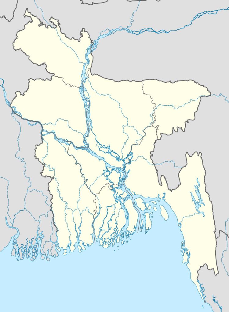
Map of Birganj Upazila, Bangladesh
Geography
Birganj is located "between 25°48' and 26°04' north latitudes and in between 88°29´ and 88°44´ east longitudes". It is situated on the bank of Dhepa river. Birganj actually situated in the middle point of Dinajpur to Thakurgaon district. The environment of Birganj is perfect for education and business. It has 42323 households and total area 413 km².
Demographics
As of the 1991 Bangladesh census, Birgonj has a population of 231305. Males constitute 51.77% of the population, and females 48.23%. This Upazila's eighteen up population is 111160. Birgonj has an average literacy rate of 25% (7+ years), and the national average of 32.4% literate.
Administration
Birganj has 11 unions/wards, 187 mauzas/mahallas, and 186 villages.