
Country United States FIPS code 36-06717 Elevation 642 m Local time Thursday 3:59 AM | State New York Time zone Eastern (EST) (UTC-5) GNIS feature ID 0978735 Population 221 (2010) | |
 | ||
Weather -3°C, Wind W at 31 km/h, 73% Humidity Area 93.5 km² (92.98 km² Land / 52 ha Water) | ||
Birdsall is a town in Allegany County, New York, United States. The population was 221 at the 2010 census. The town is named after John Birdsall, a circuit judge. Birdsall is in the northeast part of Allegany County.
Contents
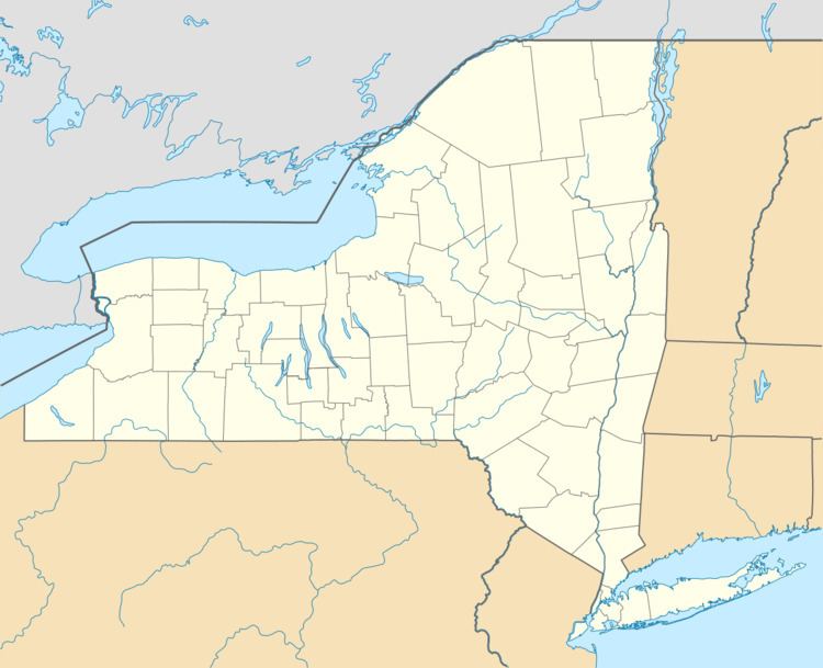
- Map of Birdsall NY 14822 USA
- History
- Geography
- Demographics
- Communities and locations in Birdsall
- References
Map of Birdsall, NY 14822, USA
History
The area that is now Birdsall was first settled around 1816. The town of Birdsall was created in 1829 from parts of the towns of Almond and Allen.
From 1882 to April 1, 1947, Birdsall was located on the main line of the Pittsburg, Shawmut & Northern Railroad and predecessors. It was abandoned on the latter date by the U. S. Interstate Commerce Commission to promote the use of highway truck transportation in the area.
In 1980 the Fire Department of Birdsall was started by William Timberlake. He and Dale Wheeler were able to get the first fire truck donated from the Egypt, New York Fire Department for $1.
Geography
According to the United States Census Bureau, the town has a total area of 36.1 square miles (93.4 km2), of which 35.9 square miles (93.0 km2) is land and 0.15 square miles (0.4 km2), or 0.47%, is water.
Demographics
As of the census of 2000, there were 268 people, 111 households, and 72 families residing in the town. The population density was 7.5 people per square mile (2.9/km²). There were 229 housing units at an average density of 6.4 per square mile (2.5/km²). The racial makeup of the town was 96.64% White, 1.87% African American, 0.37% Native American, and 1.12% from two or more races. Hispanic or Latino of any race were 0.75% of the population.
There were 111 households out of which 24.3% had children under the age of 18 living with them, 49.5% were married couples living together, 7.2% had a female householder with no husband present, and 35.1% were non-families. 25.2% of all households were made up of individuals and 9.0% had someone living alone who was 65 years of age or older. The average household size was 2.41 and the average family size was 2.90.
In the town, the population was spread out with 21.3% under the age of 18, 5.6% from 18 to 24, 25.4% from 25 to 44, 32.5% from 45 to 64, and 15.3% who were 65 years of age or older. The median age was 43 years. For every 100 females there were 106.2 males. For every 100 females age 18 and over, there were 99.1 males.
The median income for a household in the town was $21,705, and the median income for a family was $31,250. Males had a median income of $29,286 versus $22,500 for females. The per capita income for the town was $12,859. About 17.2% of families and 28.8% of the population were below the poverty line, including 50.0% of those under the age of eighteen and none of those sixty five or over.