
Website Official Map of Biral | Time zone BST (UTC+6) Area 352.2 km² | |
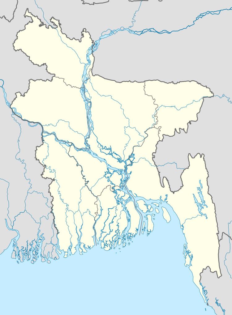 | ||
Biral (Bengali: বিরল) is an Upazila of Dinajpur District in the Division of Rangpur, Bangladesh.
Contents
Map of Birol Upazila, Bangladesh
Geography
Biral is located at 25.6333°N 88.5333°E / 25.6333; 88.5333 . It has 37993 households and total area 352.16 km².
Demographics
As of the 1991 Bangladesh census, Biral has a population of 204420. Males constitute 52.57% of the population, and females 47.43%. This Upazila's eighteen up population is 101819. Biral has an average literacy rate of 27.9% (7+ years), and the national average of 32.4% literate.
Administration
Biral has 11 unions/wards, 241 mauzas/mahallas, and 235 villages.
References
Biral Upazila Wikipedia(Text) CC BY-SA