Established 1947 Founded 1947 Local time Thursday 10:40 AM | Postcode(s) 6574 Elevation 310 m Postal code 6574 | |
 | ||
Weather 28°C, Wind N at 16 km/h, 44% Humidity | ||
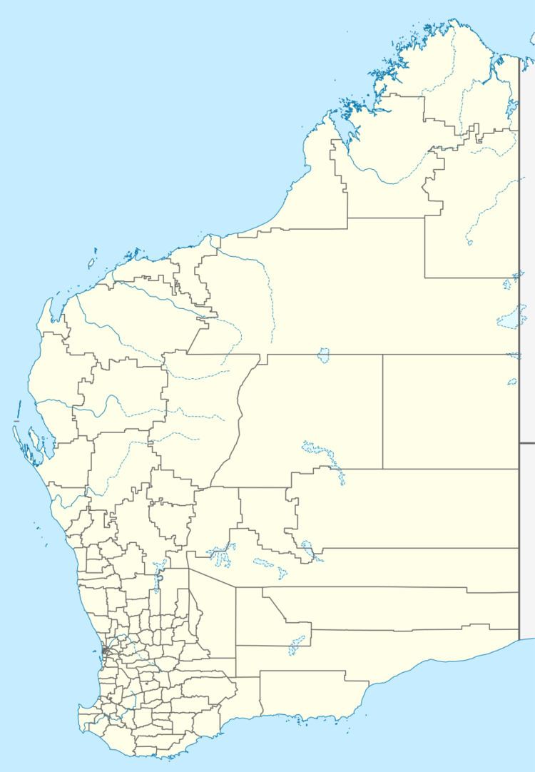
Bindi Bindi is a small town located between Moora and Wongan Hills in the Wheatbelt region of Western Australia.
Map of Bindi Bindi WA 6574, Australia
The town originated as a Western Australian Government Railways siding and was gazetted in 1947. The name is Aboriginal in origin and is the word for stick or skewer on which a coat is hung. The doubling of the word is to indicate many of them.
The main industry in town is wheat farming with the town being a Cooperative Bulk Handling receival site.
References
Bindi Bindi, Western Australia Wikipedia(Text) CC BY-SA
