
Local time Thursday 2:07 AM | Time zone GMT | |
 | ||
Weather 26°C, Wind SE at 5 km/h, 12% Humidity | ||
Binaba is a rural village in the Bawku West District of the Upper East Region in north Ghana. The village is 15 km south of the district capital Zebilla.
Contents
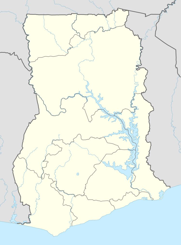
Map of Binaba, Ghana
Geography
There is a dry season, which includes Haramattan winds from mid-November through late March. The rainy season consists of monsoon rains.
Economy
The principal economic activity is agriculture based on a unimodal distribution of rain. Staple crops include millet, rice and corn. Other important food crops include shea, peanuts, sweet potatoes, mangoes, watermelons and leafy vegetables.
Population
There are approximately 300 people in Binaba and the surrounding villages of Kusanaba, Zongoyiri, Gori, Kopella, Azuera.
References
Binaba Wikipedia(Text) CC BY-SA