
Elevation 347 m Local time Thursday 6:53 AM | Time zone IST (UTC+5:30) Population 13,430 (2001) | |
 | ||
Weather 22°C, Wind S at 8 km/h, 57% Humidity | ||
Biloli is a city and a municipal council in Nanded district in the state of Maharashtra, India.
Contents
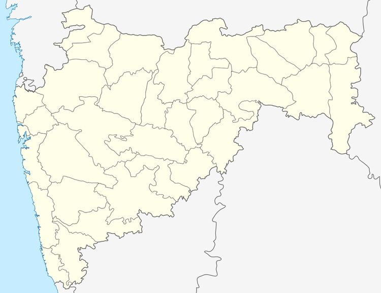
Map of Biloli, Maharashtra 431710
Geography
Biloli is located at 18.77°N 77.73°E / 18.77; 77.73. It has an average elevation of 347 metres (1138 feet).
Demographics
As of 2001 India census, Biloli had a population of 13,430. Males constitute 52% of the population and females 48%. Biloli has an average literacy rate of 57%, lower than the national average of 59.5%; with male literacy of 65% and female literacy of 48%. 17% of the population is under 6 years of age. It is a very beautiful place to roam around, surrounded by mountains & lakes. The famous temple of Goddess Saraswati ( Basar ) is only 32 km away from the town. Most people out here speak Marathi as well as Telugu as it is located on the border of Maharashtra & Andhra Pradesh. Biloli, as a Taluka place used to be a biggest taluka in Nanded district having 298 villages. Historical buildings of Tahsil Office & Police station have been fascinating people for years now. When Naigaon & Dharmabad were created as new Talukas, only about 100 villages left in Biloli. Mr Vasantrao G. Lathkar was the first command in Tahsildar ( Taluka Revenue Officer ) of the new Biloli. Climate is very good here specially in winter.