Intercommunality Artois Area 7.41 km² | Population (2009) 4,324 Local time Thursday 2:17 AM | |
 | ||
Weather 8°C, Wind W at 40 km/h, 72% Humidity | ||
Billy-Berclau is a commune in the Pas-de-Calais department in the Hauts-de-France region in northern France.
Contents
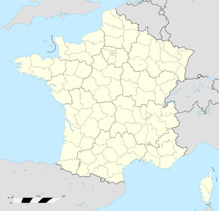
Map of 62138 Billy-Berclau, France
Geography
A small town 10 miles (16.1 km) east of Béthune and 12 miles (19.3 km) southwest of Lille, at the junction of the D163 and N47 roads. It is situated at the junction of the Canal de la Deûle and the Canal d'Aire. Light industry and a little farming have replaced the coal mining of the past.
History
The town was completely destroyed during World War I. On 27 March 2003, an explosion at the dynamite factory killed four people.
Sights
References
Billy-Berclau Wikipedia(Text) CC BY-SA
