Population 2,190 (2011) Sovereign state United Kingdom Local time Thursday 12:07 AM | OS grid reference TF152549 Post town Lincoln | |
 | ||
Weather 5°C, Wind W at 13 km/h, 92% Humidity UK parliament constituency Sleaford and North Hykeham | ||
Robert woodhead ltd billinghay open day
Billinghay is a village and civil parish in the North Kesteven district of Lincolnshire, England. The village is situated approximately 7 miles (11 km) north-east from Sleaford, and lies on the B1189 Walcott road near its junction with the A153. Just south of the village towards Sleaford is North Kyme. According to the 2001 census the parish had a population of 1,808, increasinging to 2,190 at the 2011 census.
Contents
Map of Billinghay, Lincoln, UK
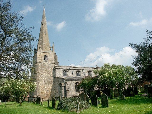
The settlement is mentioned in the Domesday Book. The name originates from a Saxon name for a fishery. The topography in ancient times would have been that of a small settlement on a gravel mound surrounded by marsh which was flooded in winter. After the draining of the fens in the late 18th century the area became rich agricultural land as it is today. The parish church is of historic interest. It dates from the 13th century.
Billinghay Grade I listed Anglican parish church is dedicated to St Michael and All Angels. The parish is part of the Car Dyke group of parishes - including Tattershall Bridge.
After the phased closure of Lafford High School due to falling pupil numbers, Billinghay Primary School remains the only school in the village.
In 1986 village was twinned with Ballon, in the Sarthe department of France.
