Population 141 (2006 census) Postcode(s) 6375 State electorate(s) Wagin Founded 1914 Postal code 6375 | Established 1914 Elevation 290 m Local time Thursday 4:48 AM Federal division Division of O'Connor | |
 | ||
Weather 22°C, Wind E at 8 km/h, 56% Humidity | ||
Bilbarin is a small town in the Wheatbelt region of Western Australia.
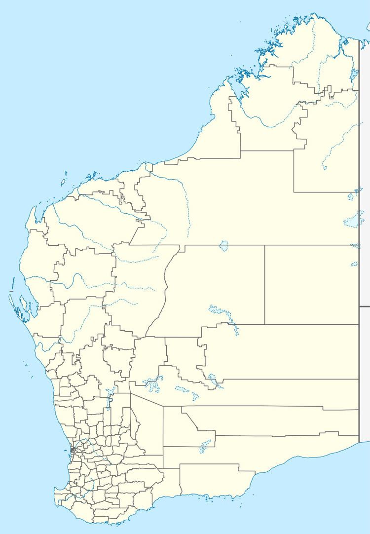
Map of Bilbarin WA 6375, Australia
The townsite is located along the railway line between Corrigin and Bruce Rock.
The town was originally gazetted in 1914 but with the name of Wogerlin, which was changed to Bilbarin in 1916. Bilbarin is the Aboriginal name of a local water source.
During a violent storm in 1928 many farmers houses were destroyed and the local hall was blown over. The Westralian Farmers' wheat shed was unroofed and the railway station was also damaged. Steel telephone poles were broken off and many kilometres of telephone lines were downed. Over 0.56 inches (14 mm) of rain fell in just a few minutes during the storm.
In 1932 the Wheat Pool of Western Australia announced that the town would have two grain elevators, each fitted with an engine, installed at the railway siding.
