
Time zone IST (UTC+5:30) Elevation 269 m Local time Thursday 2:07 AM | Tehsil Bilara PIN 342602 Population 71,396 (2011) | |
 | ||
Weather 20°C, Wind NE at 5 km/h, 44% Humidity | ||
Bilara is a city and a municipality located in the Jodhpur district of Rajasthan, India. It is the administrative headquarters for Bilara tehsil and a market center for the surrounding agricultural area.
Contents
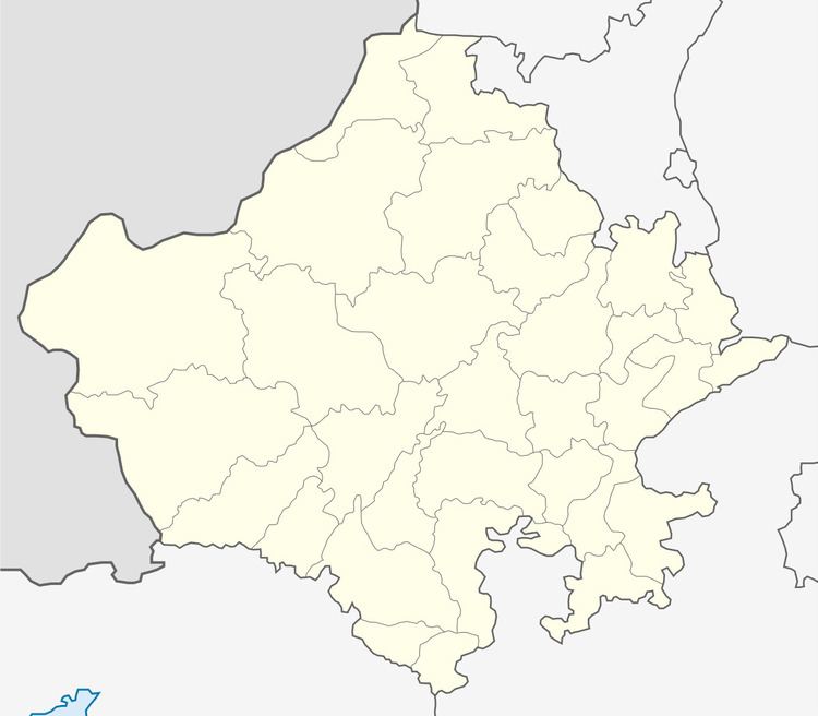
Map of Bilara, Rajasthan 342602
Demographics
Bilara is a Municipality city in district of Jodhpur, Rajasthan. The Bilara city is divided into 25 wards for which elections are held every 5 years. In the 2011 India census, Urban population of Bilara was 71,396. Males constituted 51.8% (36,974) of the population and females 48.2% (34,422), for a gender ratio of 931 females per thousand males.[1] Bilara had an average literacy rate of 57%, lower than the national average of 59.5%; with male literacy of 73% and female literacy of 40%. In 2001 in Bilara, 13.6% of the population was under 6 years of age.
Infrastructure
Bilara lies on National Highway 112 between the city of Jodhpur and Jaitaran, and is the terminus for a rail line from Pipar City.
Place of Interest
In Bilara town there arr lots of palace of interest . There is a historical Palace, Shri Aai Mata ji Temple , Dada Wadi, Kalpvriksha , Raja Bali Temple , Jaswant Sarar Dam, Monuments of Great Kingh Harshwardhan and many more.