
Country India District Udupi PIN 576 244 Elevation 11 m Population 5,791 (2001) | State Karnataka Time zone IST (UTC+5:30) Telephone code 91-(0)342 Area 10.37 km² | |
 | ||
Bijur (Kannada - ಬಿಜುರ್) is a hamlet located in Udupi District of Karnataka state in India. It is also the surname of one of the families of the Chitrapur Saraswat community, which belongs to the Chitrapur Math based in Shirali.
Contents
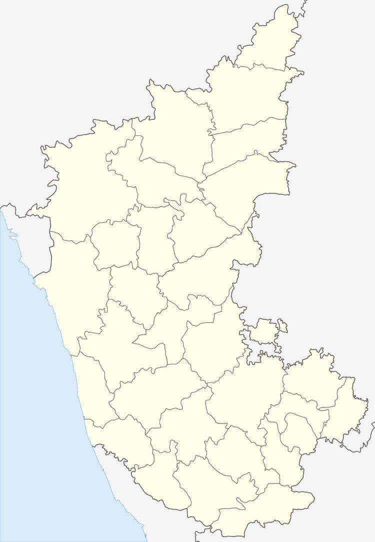
Map of Bijoor, Karnataka
Geography
Bijur is located besides Baindur village on the National Highway - NH66. The village lies between the Arabian Sea and the Western Ghats along the coastal belt of Karnataka.
Transport
Temples
The Bijur family, part of the Chitrapur Saraswat community, have their Nagadevatas established here.
References
Bijur Wikipedia(Text) CC BY-SA