
Peak Greathouse Peak Country United States | Elevation 8,681 ft (2,646 m) State Montana | |
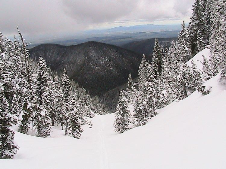 | ||
The Big Snowy Mountains, el. 8,681 feet (2,646 m), are a mountain range south of Lewistown, Montana in Fergus County, Montana. One of the few points of significant elevation in the area, this is considered one of Montana's island ranges. The smaller Little Snowy Mountains are a contiguous range immediately to the east.
Map of Big Snowy Mountains, Montana, USA
About 112,000 acres of the Big Snowies are roadless, the bulk of this on the Lewis and Clark National Forest, as well as 6,870 acres in the Twin Coulees Wilderness Study Area on adjacent BLM land. 98,000 acres of the National Forest land are also a Wilderness Study Area. The Big Snowies feature a long, relatively level east-west summit, rising above timberline, that culminates in Greathouse Peak, the highest point in the range. On a clear day the view from the top of Greathouse Peak extends from Canada to Yellowstone. A number of caves, some unexplored, exist on the west end of the range, including frozen-walled Ice Cave, usually 40 degrees cooler than outside summer temperatures.
The dominant tree species include ponderosa pine, douglas-fir, and subalpine fir on the heavily forested north slope, while the south slope is drier. Wildlife includes rattlesnakes and pronghorn on the grass-covered lower elevations and deer and black bear higher up.