
Car plates SBL Area 156.7 km² Capital Bieruń | Seat Bieruń | |
 | ||
Gminas Total 5 (incl. 3 urban)BieruńImielinLędzinyGmina BojszowyGmina Chełm Śląski | ||
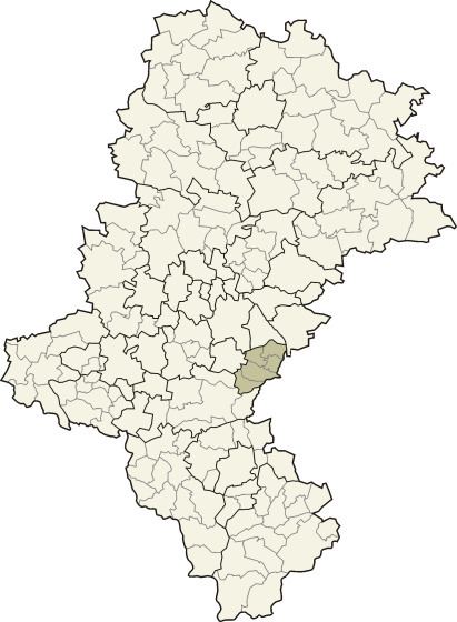
Bieruń-Lędziny County (Polish: powiat bieruńsko-lędziński) is a unit of territorial administration and local government (powiat) in Silesian Voivodeship, southern Poland. It came into being on January 1, 1999, as a result of the Polish local government reforms passed in 1998. Its administrative seat and largest town is Bieruń, which lies 15 kilometres (9 mi) south-east of the regional capital Katowice. The county also contains the towns of Lędziny, lying 2 km (1 mi) south-east of Bieruń, and Imielin, 7 km (4 mi) east of Bieruń.
Contents
Map of Bieru%C5%84-L%C4%99dziny County, Poland
Before 2002 the county had its seat in the city of Tychy (outside the county), and was called Tychy County (powiat tyski).
The county covers an area of 156.68 square kilometres (60.5 sq mi). As of 2006 its total population is 55,868, out of which the population of Bieruń is 19,642, that of Lędziny is 16,156, that of Imielin is 7,887, and the rural population is 12,183.
Neighbouring counties
Bieruń-Lędziny County is bordered by the cities of Mysłowice and Jaworzno to the north, Oświęcim County to the east, Pszczyna County to the south, and the cities of Tychy and Katowice to the west.
Administrative division
The county is subdivided into five gminas (three urban and two rural). These are listed in the following table, in descending order of population.