
- elevation 6 m (20 ft) Length 94 km Basin area 3,770 km² | - elevation 0 m (0 ft) Discharge 165 m³/s Mouth Cabusao | |
 | ||
- left Libmanan River, Sipocot River - location Between Cabusao and Calabanga, Camarines Sur, Bicol Region | ||
Bt fluvial procession sa bicol river inaabangan na
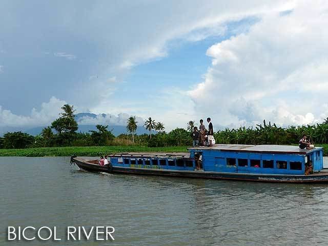
Bicol River is the eight largest river in the Philippines in terms of drainage basin size with an estimated catchment area of 3,770 km². The river drains the southwestern part of the island of Luzon and passes through Camarines Surprovince in the Bicol Region.
Contents
- Bt fluvial procession sa bicol river inaabangan na
- Water lily boys bicol river special
- Geology and Geomorphology
- Climate
- References
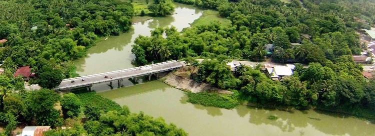
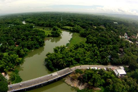
The river starts from Lake Bato, 6 metres above sea level, and flows 94 kilometres downstream to its estuarine mouth at San Miguel Bay. It passes through Naga City, the alluvial and coastal plains of the vast Bicol Valley, an elongated, northwesterly trending depression in the Bicol Region, which contains alluvial plains to the coastal plain. Average slope within the river's drainage basin is 0.006%.
The basin has an influence area of 10,058 square kilometres including its drainage basin. It lies between 13°0 to 14°N and 123°0 and 124°0 E. It is extensively a coastal flood plain.

Water lily boys bicol river special
Geology and Geomorphology

The Bicol River is bounded on the northeast by the Bicol Cordillera, which consists of a chain of volcanic mountains including Mount Iriga, Mount Malinao, Mount Masaraga and Mount Mayon. On the southwestern side lie the Ragay Hills, which consists of folded and faulted sedimentary formations including limestones, siltstones, conglomerates and shale. In between these higher areas lies the Bicol plain, which is composed of thick alluvial deposits of sand silt and clay.
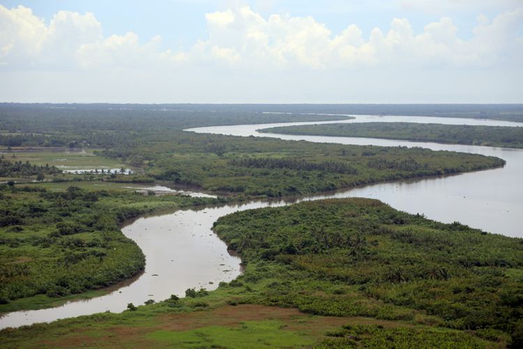
The main geo-morphological features found in the area include the estuarine plain, a river flood plain, the piedmont plain and the valleys of incised creeks. The estuarine plain is level to nearly level and consists of fine fluvial-marine deposits over sandy layers with marine shells. The fluvial marine deposits are usually saline at depths of approximately 1 metre and includes depresses areas along the Bicol River. The river floodplain is made up of mixed alluvium. The piedmont plain on the fringe of the Ragay Hills consists of fine alluvium clay and reworked colluviums.
Climate
The climate is influenced by the Northeast Monsoon winds and the Pacific trade winds. These Monsoon winds create the low pressure area in the Pacific Ocean, resulting in tropical cyclones that affect the area in November and December.
Rainfall occurs throughout the year with low rainfall between January to May and high rainfall between June and December. In the lower basin, mean annual rainfall ranges between 1,850-2,300 mm. The main factors influencing rainfall are the air streams, the inter-tropical convergence zone and topography.
The mean temperatures are high throughout the year with the daily mean temperatures in the range of 24.1°C to 28.1°C and an annual mean temperature of 27°C.