
Coat of arms Flag Federal subject Republic of Buryatia Selsoviets 13 Area 4,491 km² | Administrative center selo of Bichura Somons 5 | |
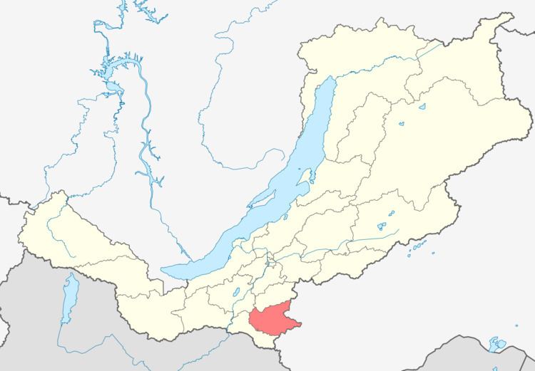 | ||
Bichursky District (Russian: Бичу́рский район; Buryat: Бэшүүрэй аймаг) is an administrative and municipal district (raion), one of the twenty-one in the Republic of Buryatia, Russia. It is located in the south of the republic. The area of the district is 6,201 square kilometers (2,394 sq mi). Its administrative center is the rural locality (a selo) of Bichura. As of the 2010 Census, the total population of the district was 25,352, with the population of Bichura accounting for 36.1% of that number.
Contents
Map of Bichursky District, Buryatia, Russia
History
The district was established on February 11, 1935.
Administrative and municipal status
Within the framework of administrative divisions, Bichursky District is one of the twenty-one in the Republic of Buryatia. The district is divided into thirteen selsoviets and five somons, which comprise thirty-six rural localities. As a municipal division, the district is incorporated as Bichursky Municipal District. Its thirteen selsoviets and five somons are incorporated as seventeen rural settlements within the municipal district. The selo of Bichura serves as the administrative center of both the administrative and municipal district.