Country India PIN 535 216 Elevation 21 m Population 9,341 (2011) | Time zone IST (UTC+5:30) Telephone code 91 08922 Area 20.96 km² Local time Monday 3:37 PM | |
 | ||
Weather 33°C, Wind S at 16 km/h, 55% Humidity | ||
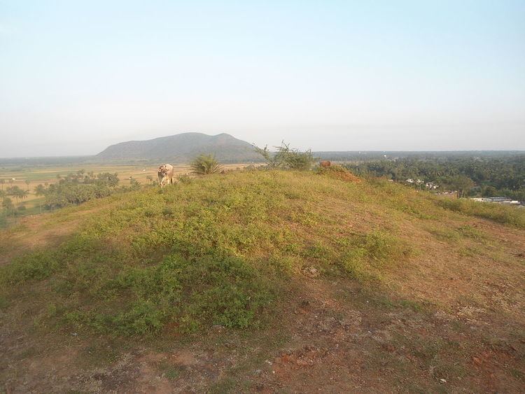
Bhogapuram is a village in Vizianagaram district of the Indian state of Andhra Pradesh. It is located in Bhogapuram mandal of Vizianagaram revenue division. It is situated on the banks of Champavati river and its canals.
Contents
Map of Bhogapuram, Andhra Pradesh 535216
Geography
Bhogapuram is located at 18.0311°N 83.4967°E / 18.0311; 83.4967 and at an altitude of 21 m (69 ft). The village is spread over an area of 20.96 km2 (8.09 sq mi).
Demography
As of 2011 census of India, Bhogapuram had a population of 9,341. The total population constitute, 4,645 males and 4,696 females —a sex ratio of 1011 females per 1000 males. 930 children are in the age group of 0–6 years, of which 452 are boys and 478 are girls. The average literacy rate stands at 63.98% with 5,381 literates, significantly higher than the state average of 67.41%.
Transport
Bhogapuram is located on the National Highway 5. The government of Andhra Pradesh is planning to build a Greenfield airport at Bhogapuram.
Politics
Bhogapuram assembly constituency had 125,856 voters in the 1999 elections. Bhogapuram legislative assembly segment has been merged into Nellimarla legislative assembly segment in 2009.
List of Members of Legislative Assembly:
