
Elevation 1,420 m Population 2,977 (2011) Area code 026 | Zone Kosi Zone Time zone NST (UTC+5:45) Local time Monday 3:07 PM Postal code 56804 Nearest city Dharan | |
 | ||
Weather 24°C, Wind SW at 13 km/h, 31% Humidity | ||
Bhedetar nepal travel video
Bhedetar is a village development committee in Dhankuta District in the Koshi Zone of eastern Nepal. At the time of the 1991 Nepal census it had a population of 2643 people living in 513 individual households. It is 1,420 meters high from the sea level. It is actually the border line of Sunsari and Dhankuta district.
Contents
Map of Bhedetar, Nepal
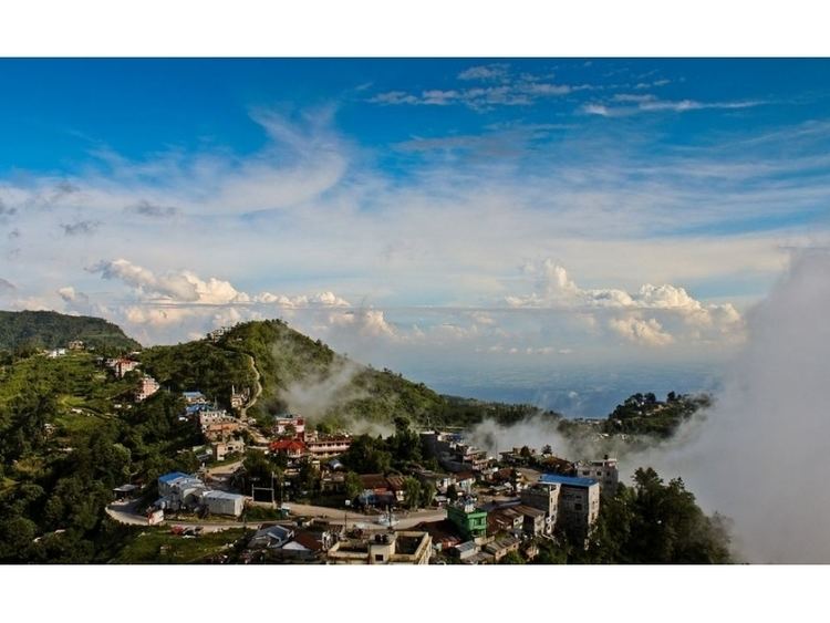
Attractions
Bhedetar is a developing tourist spot. It is a small hill station just 16 kilometers away from Dharan Sub-metropolis. It is famous for its unpredictable weather - a moment it hides itself in the blanket of thick fog and another moment it reveals itself as the crown of urban Dharan.
References
Bhedetar Wikipedia(Text) CC BY-SA