Vehicle registration MP Population 9,101 (2001) | Time zone IST (UTC+5:30) Local time Monday 2:09 PM ISO 3166 code ISO 3166-2:IN | |
 | ||
Weather 33°C, Wind NW at 8 km/h, 21% Humidity | ||
Bharveli is a census town in Balaghat district in the state of Madhya Pradesh, India.
Contents
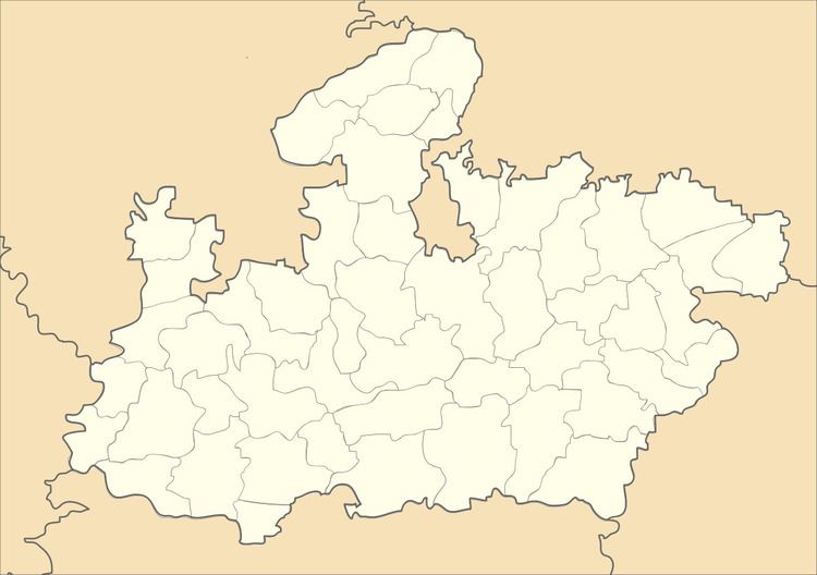
Map of Bharveli, Madhya Pradesh 481102
Demographics
As of 2001 India census, Bharveli had a population of 9,101. Males constitute 50% of the population and females 50%. Bharveli has an average literacy rate of 65%, higher than the national average of 59.5%; with male literacy of 74% and female literacy of 57%. 15% of the population is under 6 years of age. Bharveli also known for ore/manganese, due to biggest & dippiest mines area, so many out sider are working in mines & living at this village. 75% population of this village depends on agriculture & rest 25% population working at mines as working. This area is highly blessed with water & minerals for agriculture.
References
Bharveli Wikipedia(Text) CC BY-SA
