
Country India District South 24 Parganas Assembly constituency Bhangar Elevation 6 m Population 246,708 (2011) | State West Bengal Parliamentary constituency Jadavpur Time zone IST (UTC+5.30) Area 162 km² Area code 03218 | |
 | ||
Bhangar II (archaic spelling Bhangore) is a community development block that forms an administrative division in Baruipur subdivision of South 24 Parganas district in the Indian state of West Bengal.
Contents
Tebhaga movement
During the Bengal famine of 1943 the Communist Party of India provided relief to the peasantry of the Sundarbans area. In September 1946 Bangiya Pradeshik Kisan Sabha decided to launch the Tebhaga movement. The peasant movement broke out in Kakdwip, Sonarpur, Bhangar and Canning. Kakdwip and Namkhana were the storm centres of the movement. The movement aimed at improving the share of the peasant engaged as sharecroppers. The prominent leaders of the movement were: Kansari Halder, Ashoke Bose and Rash Behari Ghosh. Peasant leaders like Gajen Malik, Manik Hazra, Jatin Maity, Bijoy Mondal and others rose to prominence. The movement continued till 1950, when the Bargadari Act was enacted. The Act recognised the right of the sharecropper to two-thirds of the produce when he provided the inputs.
Land reforms
Although the Bargadari Act of 1950 recognised the rights of bargadars to a higher share of crops from the land that they tilled, it was not implemented. Large tracts, beyond the prescribed limit of land ceiling, remained with the rich landlords. In 1967, West Bengal witnessed a peasant uprising, against non-implementation of land reforms legislation, starting from Kheyadaha gram panchayat in Sonarpur CD Block. From 1977 onwards major land reforms took place in West Bengal under the Left Front government. Land in excess of land ceiling was acquired and distributed amongst the peasants. Subsequently, “Operation Barga” was aimed at securing tenancy rights for the peasants. In Bhangar II CD Block 969.24 acres of land was acquired and vested. Out of this 882.74 acres or 91.28% of the vested land was distributed amongst the peasants. The total number of patta holders was 3,240.
Location
Bhogali, a constituent panchayat of Bhangar II block, is located at 22°33′04″N 88°37′23″E.
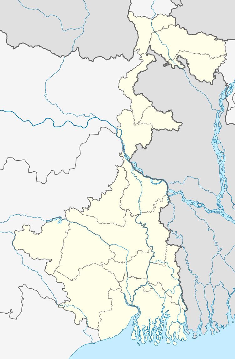
Bhangar II CD Block is bounded by Haroa CD Block in North 24 Parganas district in the north, Minakhan CD Block in North 24 Parganas district in the east, Bhangar I CD Block in the south and Rajarhat CD Block in North 24 Parganas district in the west.
It is located 30 km from Alipore, the district headquarters.
Area and administration
Bhangar II CD Block has an area of 162.04 km2. Kolkata Leather Complex and Kashipur police stations serve this CD Block. Bhangar II panchayat samity has 10 gram panchayats. The block has 59 inhabited villages. Headquarters of this block is at Bhangar.
Topography
South 24 Parganas district is divided into two distinct physiographic zones: the marine-riverine delta in the north and the marine delta zone in the south. As the sea receded southwards, in the sub-recent geological period, a large low lying plain got exposed. Both tidal inflows and the rivers have been depositing sediments in this plain. The periodical collapse of both the natural levees and man-made embankments speed up the process of filling up of the depressions containing brackish water wetlands. The marine delta in the south is formed of interlacing tidal channels. As non-saline water for irrigation is scarce, agriculture is monsoon dominated. Some parts of the wetlands are still preserved for raising fish.
Gram panchayats
Gram panchayats of Bhangore II block/panchayat samiti are: Bamanghata, Beonta I, Beonta II, Bhagwanpur, Bhogali I, Bhogali II, Chaltaberia, Polerhat I, Polerhat II and Shanpukur.
Population
As per 2011 Census of India Bhangar II CD Block had a total population of 246,708, all of which were rural. There were 127,195 (52%) males and 119,513 (48%) females. Population below 6 years was 34,837. Scheduled Castes numbered 48,893 and Scheduled Tribes numbered 1,892.
As per 2001 census, Bhangore II block had a total population of 207,418, out of which 107,221 were males and 100,197 were females. Bhangore II block registered a population growth of 24.60 per cent during the 1991-2001 decade. Decadal growth for South 24 Parganas district was 20.89 per cent. Decadal growth in West Bengal was 17.84 per cent.Scheduled castes at 48,005 formed around one-fourth the population. Scheduled tribes numbered 3,547.
Large villages
Large villages (with 4,000+ population) in Bhangar II CD Block (2011 census figures in brackets): Hat Gachha (5,882), Hadia (7,921), Dharmatala Pachuria (5,789), Swastayan Gachhi (6,966), Uriaparaur (4,893), Tona (8,914), Shyamnagar (5,078), Jaynagar (4,921), Naoabad (4,975), Pitha Pukuria (11,078), Jirangachhi (5,193), Benota (7,850), Chariswar (4,097), Bamunia (15,582), Saduli (4,230), Majherhat (7,797), Uttar Kasipur (10,782), Chandihat (5,272), Nanglapalpur (4,755), Bhogali (7,516), Nimkuria (5,604), Chalta Beria (4,167), Panapukur (5,770) and Uttar Kathalia (8,628).
Literacy
As per 2011 census the total number of literates in Bhangar II CD Block was 157,734 (74.45% of the population over 6 years) out of which 85,372 (54%) were males and 75,362 (46%) were females.
As per 2011 census, literacy in South 24 Parganas district was 77.51 Literacy in West Bengal was 77.08% in 2011. Literacy in India in 2011 was 74.04%.
As per 2001 census, Bhangore II block had a total literacy of 65.65 per cent for the 6+ age group. While male literacy was 72.89 per cent female literacy was 57.78 per cent. South 24 Parganas district had a total literacy of 69.45 per cent, male literacy being 79.19 per cent and female literacy being 59.01 per cent.
See also – List of West Bengal districts ranked by literacy rate
Language
Bengali is the local language in these areas.
Religion
In the 2011 census Muslims numbered 173,914 and formed 70.49% of the population in Bhangar II CD Block. Hindus numbered 72,192 and formed 29.26% of the population. Others numbered 602 and formed 0.25% of the population.
In the 2011 census, Hindus numbered 5,155,545 and formed 63.17% of the population in South 24 Parganas district. Muslims numbered 2,903,075 and formed 35.57% of the population.In West Bengal Hindus numbered 64,385,546 and formed 70.53% of the population. Muslims numbered 24,654,825 and formed 27.01% of the population.
Human Development Report
According to the South 24 Parganas district Human Development Report it is an overwhelmingly rural district with 85% of the population living in rural areas. An analysis of the district’s population shows that 33 percent of the district’s population belongs to Scheduled Castes. While 65.86% of people are Hindus, 33.24% are Muslims. 86% of the population resided in the 29 CD Blocks. In 2005, more than 4 lakh households were identified as living below poverty line, pushing the poverty ratio in the district to 34.11%, way above the state and national poverty ratios.
Bhangar II CD Block has a poverty ratio of 17.20% of the households in 2005. In standard of living it had a rank 8 amongst all the 29 blocks. In Infrastructure development it had the 9th rank amongst all CD Blocks. In Bhangar II, 14.51% households have access to electricity. The length of surfaced roads is 1.08 km per km2 area. The number of bank branches is 0.88 per 10,000 population. In Bhangar II, 46.85% of rural households are engaged as daily/ agricultural/ other physical labour, 29.06% are culivators, 8.68% are self-employed rural artisans/ hawkers, 5.53% are engaged in labour oriented regular jobs in the unorganised sector, and 9.88% are engaged in the organised sector or work as professionals.
As per 1991 census, while male literacy rate was 56.27% female literacy was 32.44% and there was a gender gap of 28.88% in Bhangar II. The CD Blocks are gradually catching up with the municipalities in matters of literacy. In 2006, Bhangar II had 13 secondary and higher secondary schools. All of them had libraries but 10 of them did not have computer facilities.
In 2006, in Bhangar II for 111 villages there were 28 health sub-centres and 3 rural hospital/public health centres having 31 beds with 5 medical officers, 10 nurses, 50 health assistants and 4 pharmacists and technicians. 25.2% of the 301 habitations in Bhangar II CD Block were fully covered with safe drinking water (including tube wells and tap water), 11% habitations were partly covered and 63.8% habitations not covered.
Health
Certain areas of South 24 Parganas district has been identified where ground water is affected by arsenic contamination. High levels of arsenic in ground water were found in twelve blocks of the district. Water samples collected from tubewells in the affected places contained arsenic above the normal level (10 microgram a litre as specified by the World Health Organisation). The affected blocks are Baruipur, Bhangar I, Bhangar II, Bishnupur I, Bishnupur II, Basanti, Budge Budge, Canning I, Canning II, Sonarpur, Mograhat II and Joynagar.