
Area 2,570 km² Average annual precipitation 1,166 | Website Official website Local time Monday 12:19 PM | |
 | ||
Weather 29°C, Wind W at 5 km/h, 27% Humidity Major highways National Highway 31, National Highway 81 Colleges and Universities Tilka Manjhi Bhagalpu, Vikramshila, Bhagalpur College of Engineering, Bihar Agricultural University Points of interest Ganges, Digambar Jain Mandir, Jai Prakash Udyan, Ghanta Ghar Clock Tower, Botanical Garden | ||
Bhagalpur district is one of the thirty-eight districts of Bihar state, India, and Bhagalpur town is the administrative headquarters of this district.
Contents
- Map of Bhagalpur Bihar
- Geography
- National protected area
- Economy
- Demographics
- Languages
- Flora and fauna
- Common Service Center in Sultanganj
- References
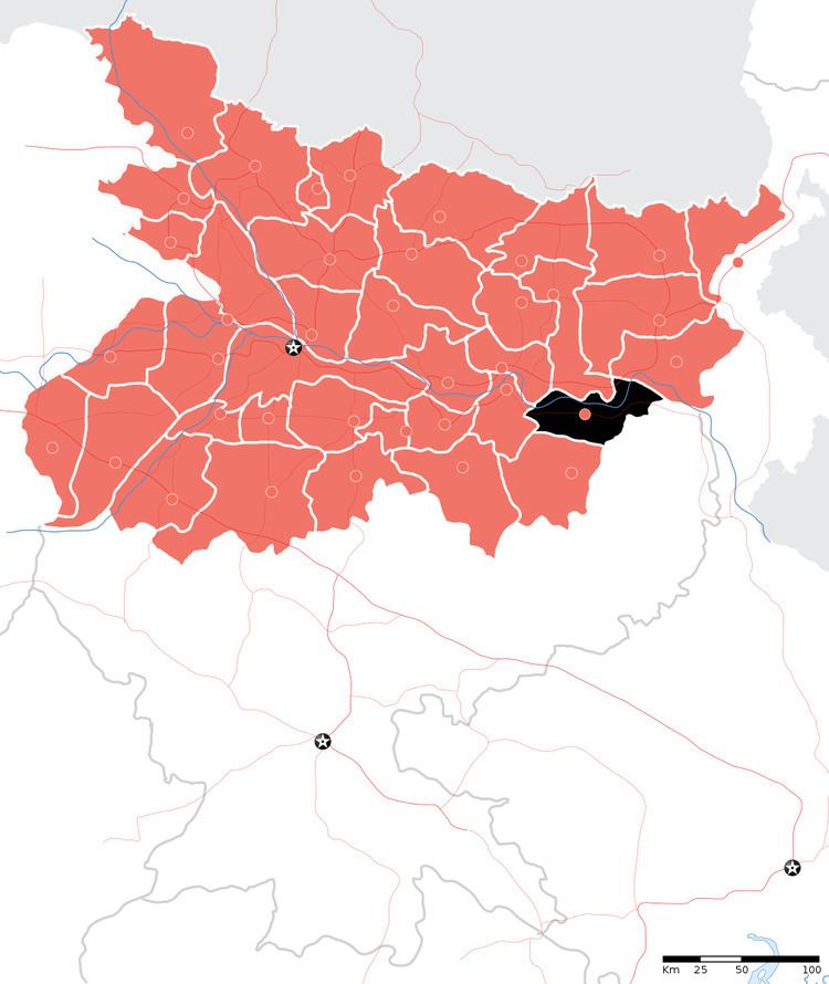
Map of Bhagalpur, Bihar
Geography
Bhagalpur district occupies an area of 2,569 square kilometres (992 sq mi),. Bhagalpur district is a part of Bhagalpur Division. The river Ganges flows through the district.
National protected area
Economy
In 2006 the Indian government named Bhagalpur one of the country's 250 most backward districts (out of a total of 640). It is one of the 36 districts in Bihar currently receiving funds from the Backward Regions Grant Fund Programme (BRGF). PratyushPriyank is one of the biggest loss-making companies based in Bhagalpur.
Demographics
According to the 2011 census Bhagalpur district has a population of 3,032,226, roughly equal to the nation of Oman or the US state of Iowa. This gives it a ranking of 120th in India (out of a total of 640). The district has a population density of 1,180 inhabitants per square kilometre (3,100/sq mi) . Its population growth rate over the decade 2001-2011 was 25.13%. Bhagalpur has a sex ratio of 879 females for every 1000 males, and a literacy rate of 64.96%.
The district has an area of 2,570 km², and a total population of 2,423,172, of which 1,990,976 (82%) are Hindu and 423,246 Muslim (17%).
Languages
The primary language used in the district is Angika.Other chief languages include Hindi, Urdu and Bengali.
Flora and fauna
In 1990 Bhagalpur district became home to the Vikramshila Gangetic Dolphin Wildlife Sanctuary, which is 0.5 km (0.3 mi) in length.