 | ||
My old beverley road 1080p hd by stephen meara blount
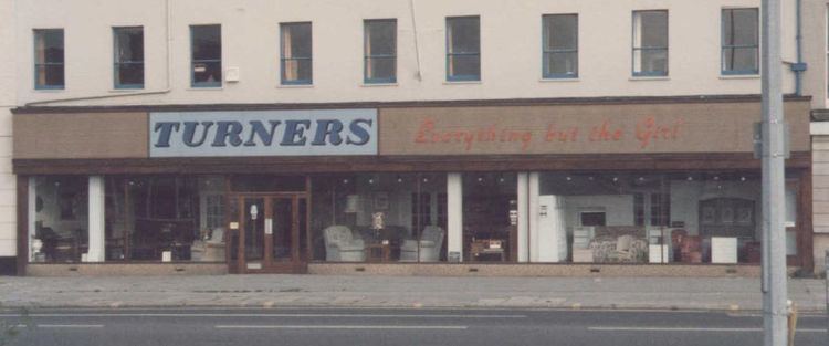
Beverley Road (known in local parlance as Bev Road) is one of several major roads that run out of the city of Hull in the East Riding of Yorkshire, England. It runs North from Hull city centre and carries the designation of A1079. Upon leaving the city boundaries, Beverley Road continues north towards the town of Beverley becoming the A1174. After passing through the village of Dunswell it becomes Hull Road.
Contents
- My old beverley road 1080p hd by stephen meara blount
- Map of Beverley Rd Hull UK
- A few regulars from rose and park pubs on beverley road in hull
- References
Map of Beverley Rd, Hull, UK
Beverley Road is home to a significant proportion of Hull's student community, given its proximity to the University of Hull, and the former Humberside campus of the University of Lincoln. Its shopping and nightlife is comparable to thoroughfares in neighbouring cities such as Sheffield's Ecclesall Road and Leeds' Headingley. It has a high number of pubs and other businesses catering for both the student and local communities.
In parts, it is lined with large pre-war housing, but extensive bombing during the Second World War destroyed many such buildings. Endeavour Learning and Skills Centre is on Beverley Road, on the site of the former Kingston General Hospital.
Many major national and international chains have businesses along the length of Beverley Road including pub chains such as Wetherspoons, Hogshead, and Scream, as have high street chains like Tesco, Sainsbury's at Jacksons, and Cooplands.
It is officially known as Beverley High Road, north of Cottingham Road. Whilst within the Hull boundaries, Beverley Road runs through the parliamentary constituency of Hull North.
