
Population 3 (2014) Postal code 2581 | Postcode(s) 2581 Local time Monday 1:49 PM | |
 | ||
Location 40 km (25 mi) N of Gunning85 km (53 mi) NW of Goulburn100 km (62 mi) N of Canberra280 km (174 mi) SW of Sydney Weather 24°C, Wind SE at 18 km/h, 31% Humidity | ||
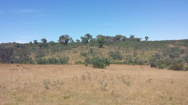
Bevendale is a rural town located in the Southern Tablelands in New South Wales, Australia. It is 25 km (16 mi) north of Dalton and is located in the Upper Lachlan Shire. The Hume Highway passes through the south of Bevendale.
Map of Bevendale NSW 2583, Australia
Bevendale is a small rural town with only a population of three people, with 224 living in the general Bevendale area at the 2011 census. The area has little to no mobile reception. Dalton is the nearest service town, with residents also heading to Gunning to trade in the markets there.
References
Bevendale, New South Wales Wikipedia(Text) CC BY-SA