
Sovereign state United Kingdom Postcode district DA13 Local time Monday 12:07 AM | ||
 | ||
Weather 6°C, Wind W at 27 km/h, 85% Humidity | ||
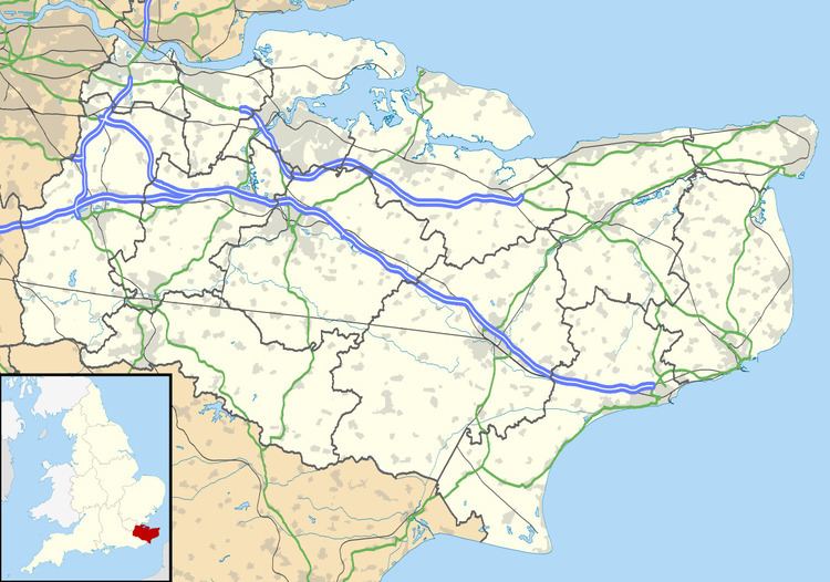
Betsham is a hamlet in the parish of Southfleet in Kent, England.
Map of Betsham, Southfleet, Gravesend, UK
Betsham is a mile north-west from the village of Southfleet, which is situated nearly in the middle of the parish. The hamlet was formerly called Bedesham and lies on the road that leads from Green Street Green (formerly Greensted-green) in the parish of Darenth to Southfleet railway station and thence to Wingfield-bank,Northfleet where it meets the ancient Roman highway Watling Street (A2 motorway), which runs along the northern side of this parish.
Another road links Betsham with Westwood to the south.
References
Betsham Wikipedia(Text) CC BY-SA