
Population 414 (2011 census) LGA(s) Junee Shire State electorate(s) Cootamundra Postal code 2590 Federal division Division of Riverina | Postcode(s) 2590 County Clarendon Elevation 310 m Local time Monday 10:49 AM | |
 | ||
Location 400 km (249 mi) from Sydney
70 km (43 mi) from Wagga Wagga
24 km (15 mi) from Cootamundra
10 km (6 mi) from Illabo Weather 22°C, Wind E at 19 km/h, 37% Humidity | ||
Bethungra dam reserve camping area nsw
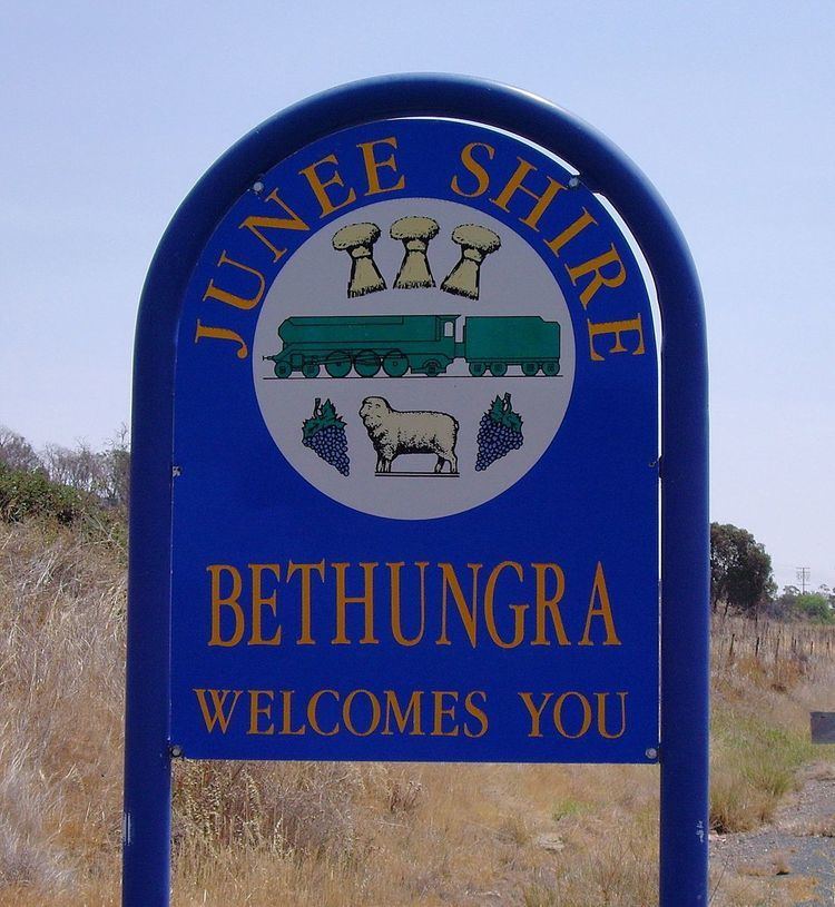
Bethungra is a locality in Junee Shire in the South West Slopes region of New South Wales, Australia situated on the Olympic Way about 13 kilometres northeast of Illabo and 24 kilometres southwest of Cootamundra.
Contents
- Bethungra dam reserve camping area nsw
- Map of Bethungra NSW 2590 Australia
- Xpt train climbing the bethungra spiral melbourne to sydney
- References
Map of Bethungra NSW 2590, Australia
Bethungra Post Office opened on 1 December 1875.
Just to the north of the town lies the Bethungra Spiral, a rail spiral built on the Main South railway line to ease the gradients when the line was duplicated between 1941 and 1946. A railway station was located in the town between 1878 and the 1980s, and has now been demolished.
In 1885, an accident occurred near Bethungra when a train derailed at a washed away culvert, killing five persons.
Xpt train climbing the bethungra spiral melbourne to sydney
References
Bethungra Wikipedia(Text) CC BY-SA