
Country United States County Genesee FIPS code 36-06266 Area 93.5 km² Zip code 14028 Local time Sunday 5:48 PM | State New York Time zone Eastern (EST) (UTC-5) GNIS feature ID 0978729 Elevation 360 m Population 1,765 (2010) Area code 585 | |
 | ||
Weather -3°C, Wind E at 14 km/h, 38% Humidity | ||
Bethany is a town in Genesee County, New York, United States. The population was 1,765 at the 2010 census. The town lies on the south border of Genesee County. US Route 20 and NYS Route 63 cross the town.
Contents
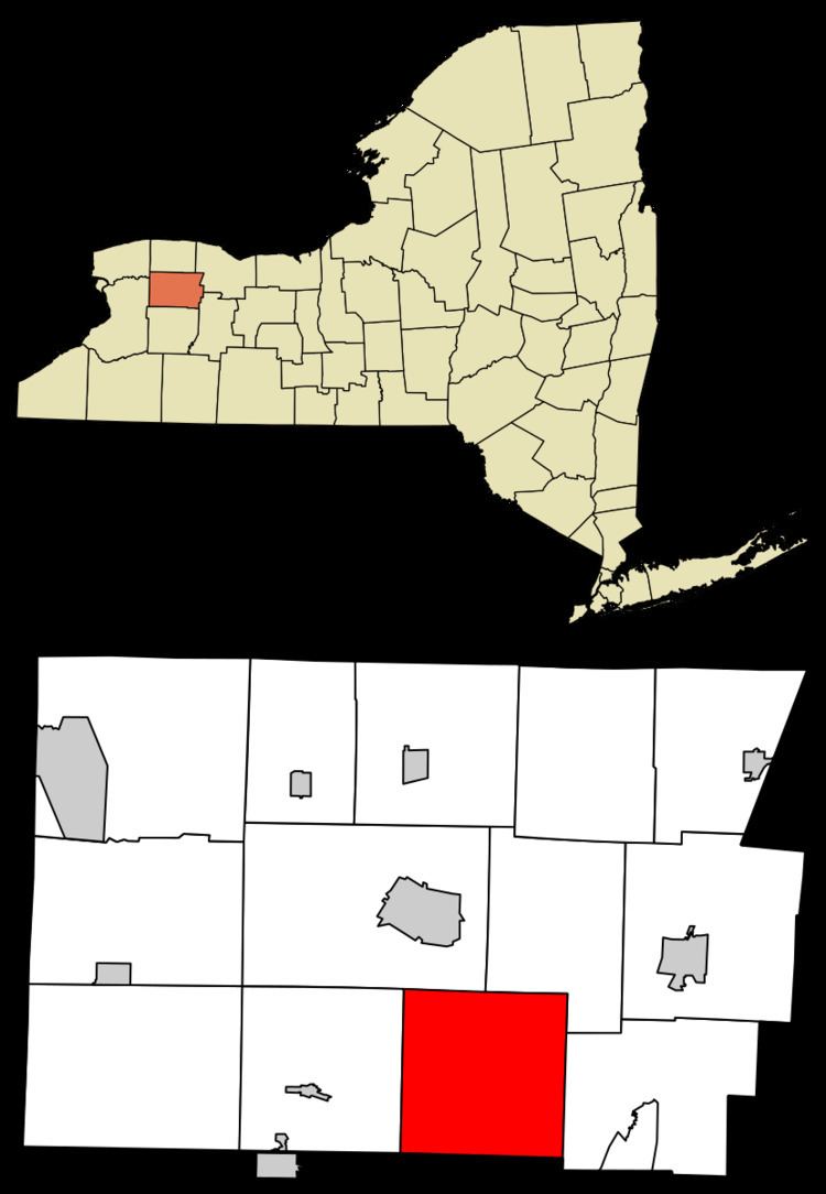
Map of Bethany, NY, USA
History
The area was first settled around 1803. The town of Bethany was formed in 1812 from a partition of the town of Batavia.
Geography
According to the United States Census Bureau, the town has a total area of 36.1 square miles (93 km2), all of it land.
The south town line is the border of Wyoming County.
Oatka Creek, a tributary of the Genesee River, flows northward through the town.
Demographics
As of the census of 2000, there were 1,760 people, 636 households, and 499 families residing in the town. The population density was 48.8 people per square mile (18.8/km²). There were 665 housing units at an average density of 18.4 per square mile (7.1/km²). The racial makeup of the town was 97.05% White, 0.80% African American, 0.23% Native American, 0.23% Asian, 0.17% from other races, and 1.53% from two or more races. Hispanic or Latino of any race were 0.40% of the population.
There were 636 households out of which 34.9% had children under the age of 18 living with them, 65.7% were married couples living together, 8.6% had a female householder with no husband present, and 21.5% were non-families. 16.7% of all households were made up of individuals and 5.0% had someone living alone who was 65 years of age or older. The average household size was 2.77 and the average family size was 3.10.
In the town, the population was spread out with 25.5% under the age of 18, 8.7% from 18 to 24, 29.5% from 25 to 44, 25.2% from 45 to 64, and 11.0% who were 65 years of age or older. The median age was 38 years. For every 100 females there were 106.3 males. For every 100 females age 18 and over, there were 107.8 males.
The median income for a household in the town was $45,450, and the median income for a family was $50,234. Males had a median income of $32,113 versus $24,643 for females. The per capita income for the town was $18,693. About 3.2% of families and 5.1% of the population were below the poverty line, including 8.0% of those under age 18 and 3.1% of those age 65 or over.