
Area 167.8 km² | Time zone BST (UTC+6) | |
 | ||
Website Official Map of the Betagi Upazila | ||
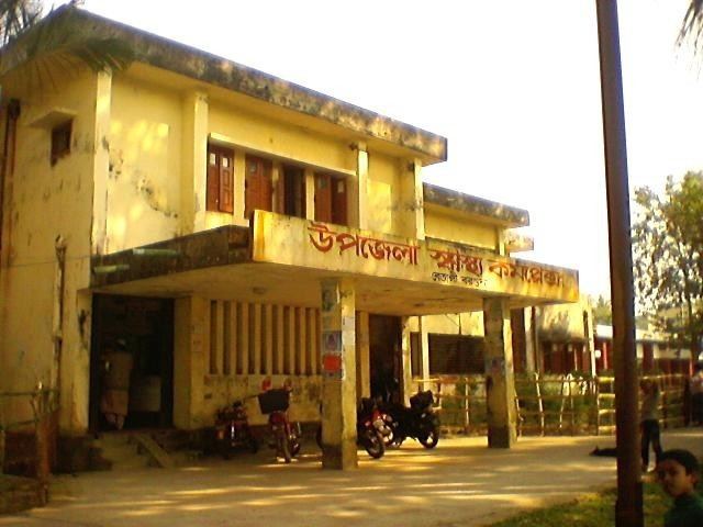
Betagi (Bengali: বেতাগী) is an Upazila of Barguna District in the Division of Barisal, Bangladesh.
Contents
Map of Betagi, Bangladesh
Geography
Betagi is located at 22.4167°N 90.1681°E / 22.4167; 90.1681 . It has 22,156 households and a total area of 167.75 km².
Demographics
According to the 1991 Bangladesh census, Betagi had a population of 110,926. Males constitute 49.95% of the population, and females 50.05%. The population aged 18 or over was 57,885. Betagi had an average literacy rate of 47% (7+ years), compared to the national average of 32.4%.
Administration
Betagi has 1 town council with 9 Wards, 7 Unions/Wards, 61 Mauzas/Mahallas, and 75 villages.
References
Betagi Upazila Wikipedia(Text) CC BY-SA