
 | ||
2015 12 05 beskid dukielski piotru
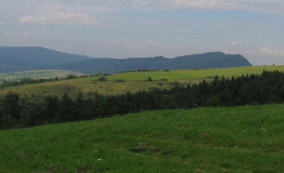
Beskid Dukielski (Dukla Beskid) is the middle part of the Beskid Niski mountain range, lying north of the Dukla Pass and being named after the town of Dukla.
Contents
The range stretches from the valleys of the Wisłoka and Ryjaka rivers in the west, to the Królik Polski - Daliowa - Czeremcha way in the east. Its boundary to the north is the Nowy Żmigród - Dukla way. Further east, the Jasionka - Lubatowa and Królik Polski way, separates Beskid Dukielski from the Rymanowski Hills.
They are composed of sedimentary rocks - mainly sandstone, shales and conglomerates. Landslides are very common.
The highest peak is Baranie (the Ram) (754 m).
Mountains of the Beskid Dukielski include (all measurements in metres above sea level):
G ra piotru beskid dukielski beskid niski
References
Beskid Dukielski Wikipedia(Text) CC BY-SA