
Time zone CET (UTC+1) Elevation 1,094 m Population 189 (2014) | Postal code 28194 Area 14.3 km² Local time Sunday 2:30 AM | |
 | ||
Weather 1°C, Wind W at 5 km/h, 81% Humidity | ||
Las tortillas del bar de tere en berzosa del lozoya rico rico
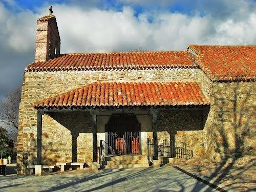
Berzosa de Lozoya ([berˈθosa ðe loˈθoʝa]) is a municipality situated in the north of the autonomous community of Madrid in central Spain. It had 234 inhabitants in 2011, covers an area of 14.3 km² and a population density of 16.36people per km².
Contents
- Las tortillas del bar de tere en berzosa del lozoya rico rico
- Map of 28194 Berzosa del Lozoya Madrid Spain
- Education
- References
Map of 28194 Berzosa del Lozoya, Madrid, Spain
Education
There is one nursery (public) in Berzosa del Lozoya.
References
Berzosa del Lozoya Wikipedia(Text) CC BY-SA