
Coat of arms Flag Rural localities 89 | Administrative center selo of Beryozovka Area 1,977 km² | |
 | ||
Municipally incorporated as | ||
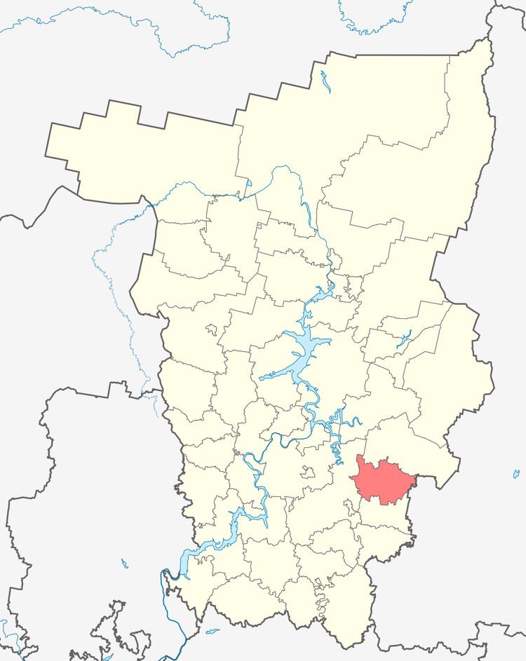
Beryozovsky District (Russian: Берёзовский райо́н) is an administrative district (raion) of Perm Krai, Russia; one of the thirty-three in the krai. Municipally, it is incorporated as Beryozovsky Municipal District. It is located in the southeast of the krai. The area of the district is 1,977 square kilometers (763 sq mi). Its administrative center is the rural locality (a selo) of Beryozovka. Population: 17,042 (2010 Census); 18,516 (2002 Census); 20,242 (1989 Census). The population of Beryozovka accounts for 40.5% of the district's total population.
Contents
Map of Beryozovsky District, Permskiy Kray, Russia
History
The district was established on February 27, 1924. It was abolished between January 1, 1932 and January 25, 1935 and then again between February 1, 1963 and January 12, 1965. Since 1938, the district has been a part of Perm Oblast.
Economy
District's economy is based on agriculture. Forestry, timber, and food industry are also present.
Demographics
The most numerous ethnic groups, according to the 2002 Census, include Russians at 81.1% and Tatars at 16.9%.