
Country United States Time zone CST (UTC-6) Area 97.6 km² Population 273 (2010) | Established November 6, 1849 Elevation 145 m Local time Saturday 3:07 PM | |
 | ||
ZIP codes 61427, 61441, 61477, 61482, 61542 Weather 15°C, Wind SE at 13 km/h, 38% Humidity | ||
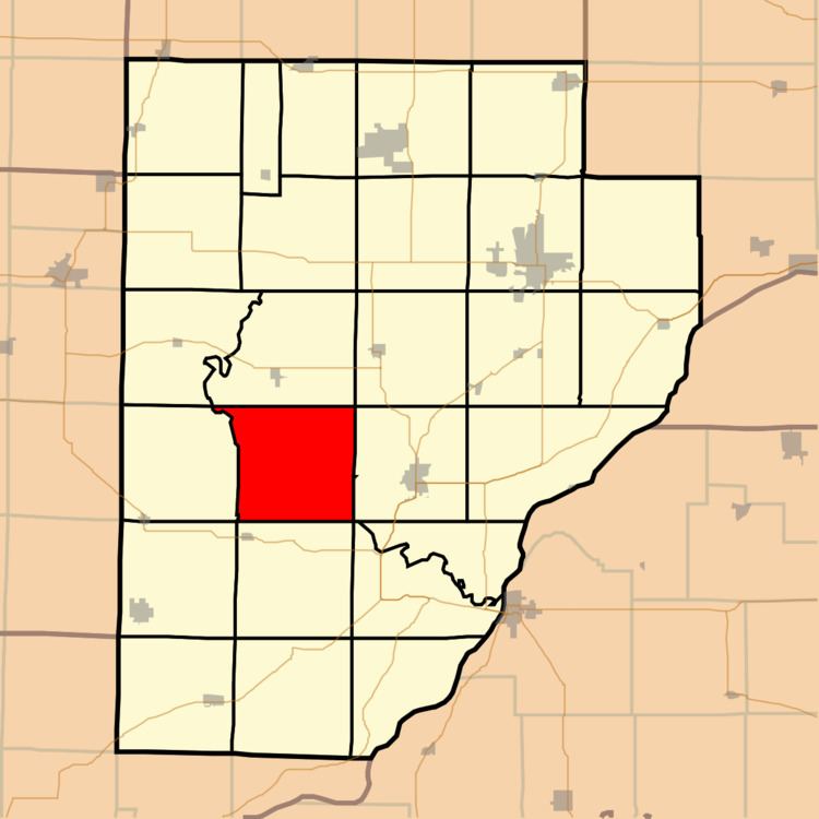
Bernadotte Township is one of twenty-six townships in Fulton County, Illinois, USA. As of the 2010 census, its population was 273 and it contained 141 housing units.
Contents
- Map of Bernadotte Township IL USA
- Geography
- Extinct towns
- Cemeteries
- Landmarks
- School districts
- Political districts
- References
Map of Bernadotte Township, IL, USA
Geography
According to the 2010 census, the township has a total area of 37.7 square miles (98 km2), of which 37.69 square miles (97.6 km2) (or 99.97%) is land and 0.01 square miles (0.026 km2) (or 0.03%) is water.
Extinct towns
Cemeteries
The township contains these four cemeteries: Engle, Providence, Randol and Stites.
Landmarks
School districts
Political districts
References
Bernadotte Township, Fulton County, Illinois Wikipedia(Text) CC BY-SA