
Postal codes 55234 Area 2.87 km² Population 389 (31 Dec 2008) Dialling code 06731 | Time zone CET/CEST (UTC+1/+2) Dialling codes 06731 Local time Saturday 9:18 PM Postal code 55234 | |
 | ||
Weather 7°C, Wind SW at 18 km/h, 85% Humidity | ||
Bermersheim vor der Höhe is an Ortsgemeinde – a municipality belonging to a Verbandsgemeinde, a kind of collective municipality – in the Alzey-Worms district in Rhineland-Palatinate, Germany.
Contents
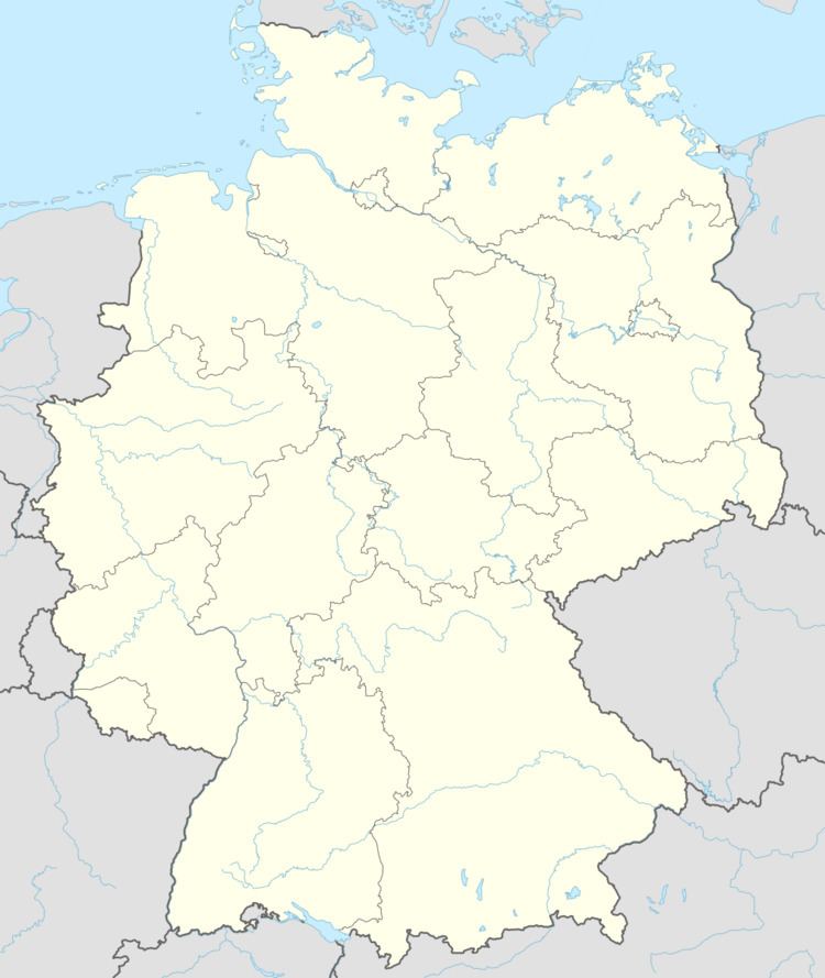
- Map of Bermersheim vor der HC3B6he Germany
- Location
- History
- Municipal council
- Mayors
- Buildings
- Economy and infrastructure
- Sons and daughters of the town
- References
Map of Bermersheim vor der H%C3%B6he, Germany
Location
As a winegrowing centre, Bermersheim vor der Höhe lies in Germany’s biggest winegrowing district, in the middle of Rhenish Hesse. It belongs to the Verbandsgemeinde of Alzey-Land, whose seat is in Alzey.
History
The earliest documentary evidence of the name of Bermersheim dates from the year 768, in connection with the sale of an estate to Lorsch Abbey.
The words vor der Höhe (meaning “before the Heights”) were added to the name with effect from 1 April 1971.
Municipal council
The council is made up of 8 council members, who were elected by proportional representation at a municipal election held on 7 June 2009, with the honorary mayor as chairman.
The municipal election held on 7 June 2009 yielded the following results: