
 | ||
Bergison Peak (Bulgarian: връх Бергисон, ‘Vrah Bergison’ \'vr&h 'ber-gi-son) is the peak rising to 2000 m in the southern portion of Bastien Range in Ellsworth Mountains, Antarctica. The feature has steep and partly ice-free west slopes, and surmounts Karasura Glacier to the north, Nimitz Glacier to the northeast, and upper Minnesota Glacier to the southwest.
Contents
Map of Bergison Peak, Antarctica
The peak is named after the Thracian fortress of Bergison in Southern Bulgaria.
Location
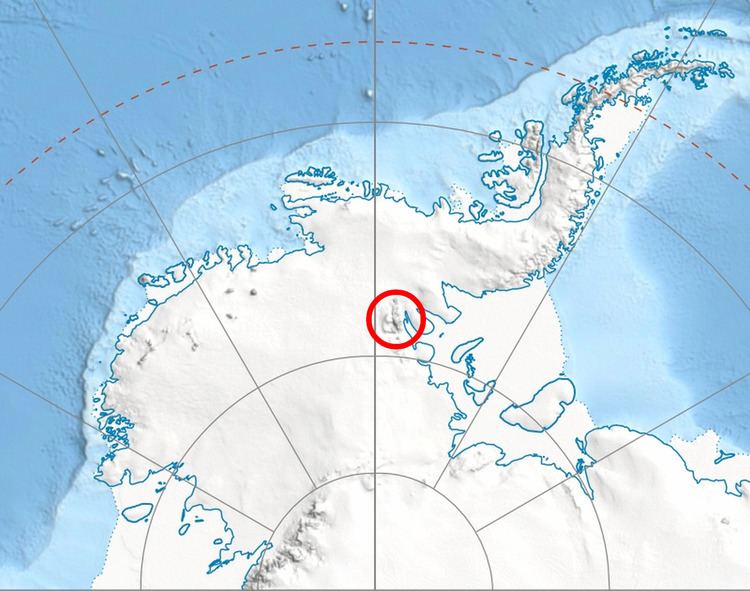
Bergison Peak is located at 78°51′14.3″S 85°47′24″W, which is 25 km northwest of O'Neal Nunataks, 4.66 km southeast of Patmos Peak, and 20.56 km west of Lishness Peak in Sentinel Range. US mapping in 1961 and 1988.
Maps
References
Bergison Peak Wikipedia(Text) CC BY-SA