
Elevation 98 m (322 ft) Altitude 65.8 m (216 ft) Average gradient 7.1 % Start Michelbeke | Location Flanders, Belgium Length 936 m (3,071 ft) Maximum gradient 12.3 % | |
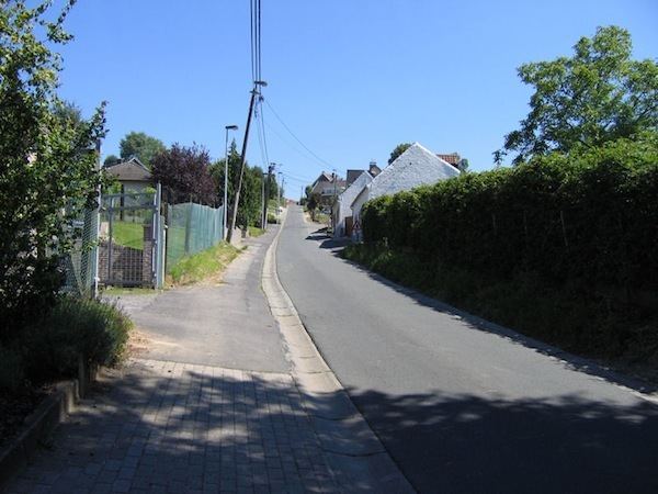 | ||
The Berendries is an uphill street in Michelbeke, part of the municipality of Brakel, in the Belgian province of East Flanders. Its top is at 98 m altitude, making it the highest hill of the Zwalm region, just north of the Flemish Ardennes. The road has an asphalt surface and links the valley town of Michelbeke to the hilltop town of Sint-Maria-Oudenhove.
Contents
Map of Berendries, 9660 Brakel, Belgium
Cycling
The climb is best known from cycling, where it regularly features in the Flemish races in spring, most notably the Tour of Flanders. The Berendries is just under one kilometer and has an average gradient of 7% with its steepest point, 12.1%, coming in the middle of the climb.
The climb is also regularly included in Dwars door Vlaanderen, the Three Days of De Panne, the Eneco Tour and the Tour of Flanders for Women.