
Time zone CET (UTC+1) Area 23.82 km² Local time Friday 3:15 PM | County Szabolcs-Szatmár-Bereg Postal code 4934 Population 855 (2002) Area code 45 | |
 | ||
Weather 13°C, Wind SW at 6 km/h, 39% Humidity | ||
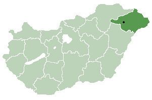
Beregdaróc is a village in Szabolcs-Szatmár-Bereg county, in the Northern Great Plain region of eastern Hungary.
Contents
Map of Beregdar%C3%B3c, Hungary
Geography
It covers an area of 23.82 km2 (9 sq mi) and has a population of 855 people (2001).
This village is the Eastern entry point for Hungarian imports of natural gas shipped via Ukraine. 27m cubic metres per day is imported for Hungarian domestic consumption, and an additional 18 m cubic metres per day is imported for transhipment to Serbia and Bosnia/Herzogovina. 82% is from Russian sources, and 18% from Turkmenistan sources, according to the Hungarian Energy Office. (http://www.eh.gov.hu/home/html/index.asp?msid=1&sid=0&lng=2&hkl=476 and http://www.energy-regulators.eu/portal/page/portal/EER_HOME/EER_PUBLICATIONS/NATIONAL_REPORTS/National%20Reporting%202009/NR_En/E09_NR_Hungary-EN.pdf).
This village is currently witnessing ground clearance for the M3 motorway border crossing between Hungary and the Ukraine. This is at kilometre 307 from Budapest. (http://www.motorways-exitlists.com/europe/h/m3.htm)