
Population 2,989 (2011) Civil parish Bere Ferrers Local time Friday 2:07 PM | OS grid reference SX4563 Sovereign state United Kingdom Dialling code 01822 | |
 | ||
Weather 10°C, Wind S at 23 km/h, 93% Humidity | ||
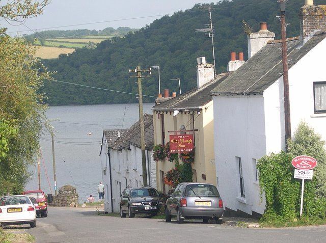
Bere Ferrers, sometimes called Beerferris, is a village and civil parish on the Bere peninsula in West Devon in the English county of Devon. It is located to the north of Plymouth, on the west bank of the River Tavy. It has a railway station on the Tamar Valley Line.
Map of Bere Ferrers, Yelverton, UK
The civil parish includes the whole of the Bere peninsula, including the village of Bere Alston and the smaller settlements of Tuckermarsh, Rumleigh, Buttspill, Braunder, Cotts, Hewton, Weir Quay, Clamoak, Gnatham and Collytown. In 2001 the parish had a population of 3,066; this had decreased to 2,989 in 2011.
References
Bere Ferrers Wikipedia(Text) CC BY-SA