PIN 463106 Elevation 484 m Local time Friday 6:56 PM | Time zone IST (UTC+5:30) Vehicle registration MP Population 24,289 (2001) ISO 3166 code ISO 3166-2:IN | |
 | ||
Weather 28°C, Wind W at 8 km/h, 23% Humidity | ||
Berasia is a town and a nagar palika (municipality) in Bhopal district in the state of Madhya Pradesh, India. In September 2011 Government of Madhya Pradesh allotted Berasia and nearby areas for Industrial use.
Contents
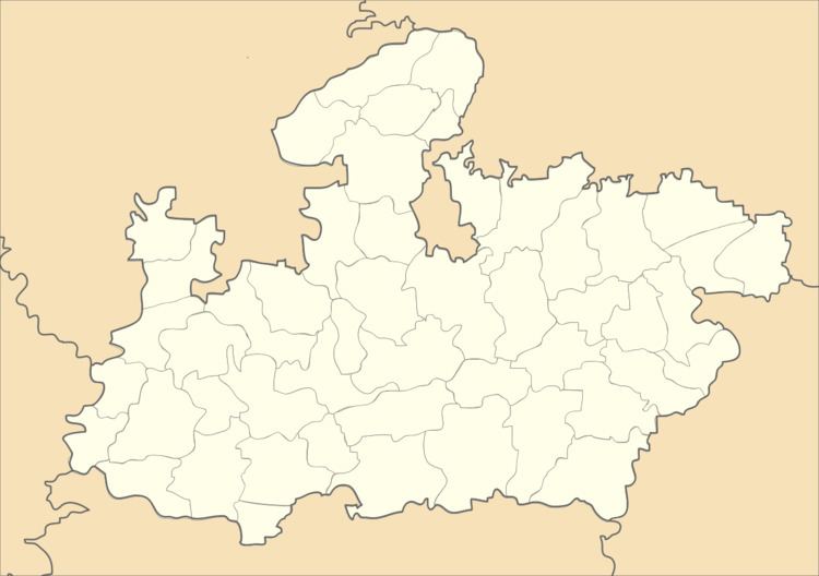
Map of Berasia, Madhya Pradesh 463106
History
In the early 18th century, Berasia was a small mustajiri (rented estate) under the authority of the Delhi-based Mughal fief-holder Taj Mohammad Khan. It suffered from anarchy and lawlessness due to regular attacks from highwaymen and plunderers. Dost Mohammad Khan, a Mughal soldier-turned-mercenary of Afghan descent, took on the lease of Berasia for an annual payment of 30,000 rupees. He later annexed several neighboring territories and established the Bhopal State.
Geography
Berasia is located at 23.63°N 77.43°E / 23.63; 77.43. It has an average elevation of 484 metres (1587 feet).
Demographics
As of 2001 India census, Berasia had a population of 24,289. Males constitute 53% of the population and females 47%. Berasia has an average literacy rate of 57%, lower than the national average of 59.5%; with 60% of the males and 40% of females literate. 18% of the population is under 6 years of age.
