
Country Spain Demonym(s) Basque: berangotarra Area 8.9 km² Population 6,925 (2014) | Autonomous community Basque Country Elevation 31 m (102 ft) Time zone CET (UTC+1) Local time Friday 2:24 PM | |
 | ||
Weather 18°C, Wind SW at 19 km/h, 44% Humidity | ||
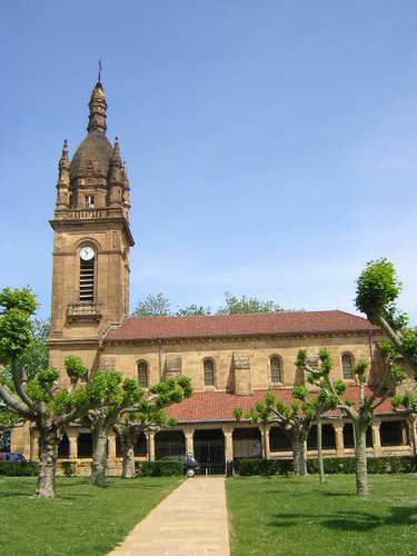
Berango is a town and municipality located in the province of Biscay, in the region known as "Greater Bilbao" in the autonomous community of Basque Country, Spain with 8,9 km² of extension and a population of 6.748 inhabitants according to the census of the 2010. Its density reaches 174,81 inhabitants per square kilometre.
Contents
Map of Berango, Biscay, Spain
Geographical Location
Berango is confined by Sopelana in the north, with Urduliz in the northeast, with Erandio in southeast, and with Guecho to the western. In this region there are some cholines that stand out such as Munarrikolanda, Saiherri and Agirremendi mountains. The Gobela river passes through the municipality and disgorges in the Bahía de El Abra. Moreover, Berango receives Larrañazubi's streams and several natural fountains.
References
Berango Wikipedia(Text) CC BY-SA