
Country United States ZIP codes 51648, 51654 Elevation 282 m Local time Friday 6:16 AM | Time zone CST (UTC-6) GNIS feature ID 0467443 Area 118.4 km² Population 254 (2010) | |
 | ||
Weather -6°C, Wind S at 8 km/h, 87% Humidity | ||
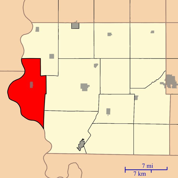
Benton Township is one of thirteen townships in Fremont County, Iowa, United States. As of the 2010 census, its population was 254 and it contained 122 housing units.
Contents
- Map of Benton IA USA
- Geography
- Cities towns villages
- Unincorporated towns
- Extinct towns
- Cemeteries
- Transportation
- Lakes
- School districts
- Political districts
- References
Map of Benton, IA, USA
Geography
As of the 2010 census, Benton Township covered an area of 45.71 square miles (118.4 km2); of this, 44.4 square miles (115 km2) (97.13 percent) was land and 1.31 square miles (3.4 km2) (2.87 percent) was water.
Cities, towns, villages
Unincorporated towns
(This list is based on USGS data and may include former settlements.)
Extinct towns
(These towns are listed as "historical" by the USGS.)
Cemeteries
The township contains Blanchard Cemetery and Lambert Cemetery.
Transportation
Lakes
School districts
Political districts
References
Benton Township, Fremont County, Iowa Wikipedia(Text) CC BY-SA